Ratlām night lights from space
Night Light of Ratlām (Madhya Pradesh) from space (India) Src. Average luminocity for 10x10km area is 64.5189% and for 50x50km: 7.0013%.
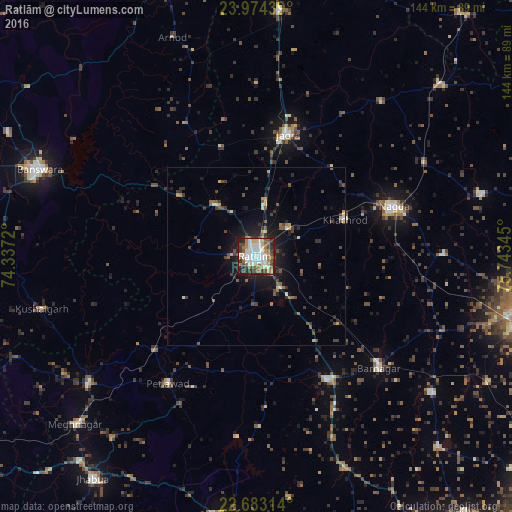

Analysis of Ratlām night lights 2016
Square area 10x10 km:
 11.55%
90-99
22.92%80-89
6.06%70-79
4.55%60-69
11.55%50-59
7.58%40-49
9.47%30-39
8.33%20-29
13.45%10-19
4.36%0-9
0.19%Square area 50x50 km:
0.51%90-99
1.25%80-89
0.55%70-79
0.53%60-69
0.91%50-59
1.08%40-49
1.54%30-39
1.56%20-29
2.2%10-19
4.78%0-9
85.08%Clear (daylight) street map image can be seen on geolist.org.
Map coordinates:
23° 58' 27.8" North, 74° 20' 13.9" East
23° 19' 49.2" North, 75° 2' 25.2" East
22° 40' 59.3" North, 75° 44' 36.4" East
Some cities around Ratlām sort by population:
• Nagda
41 km =25.5 mi,  69°
69°
• Jaorā
35.3 km =21.9 mi,  14°
14°
• Khāchrod
26.7 km =16.6 mi, 67°
• Badnāwar
39.5 km =24.5 mi,  150°
150°
• Sailāna
18.9 km =11.7 mi,  320°
320°
• Namli
14.7 km =9.1 mi, 8°
• Bamna
38.7 km =24 mi,  227°
227°
• Piploda
40.2 km =25 mi,  86°
86°
1258342 (p: 236,843)
Sources (retrieved 2019-11-25):
» NASA, Earths city lights 1995
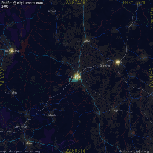
» NASA city lights 2003
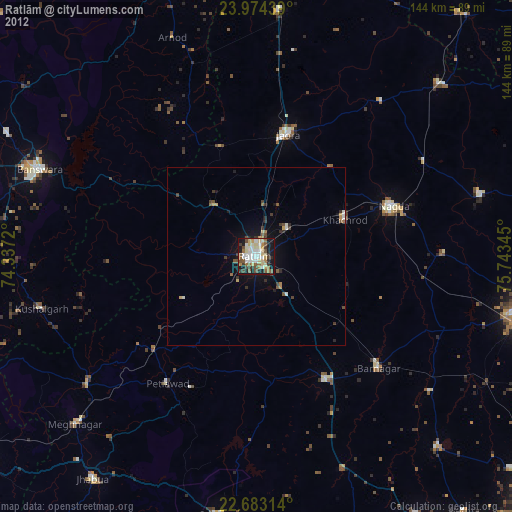
» Earth at Night: Flat Maps 2012, 2016