Āron night lights from space
Night Light of Āron (Madhya Pradesh) from space (India) Src. Average luminocity for 10x10km area is 13.6349% and for 50x50km: 4.4967%.
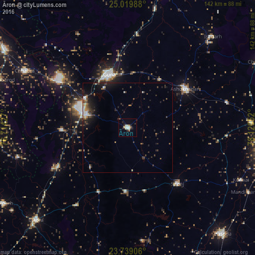
Analysis of Āron night lights 2016
Square area 10x10 km:
 1.59%
1.59%90-99
4.17%80-89
1.19%70-79
1.98%60-69
0.2%50-59
0.79%40-49
0%30-39
2.98%20-29
2.38%10-19
3.17%0-9
81.55%Square area 50x50 km:
0.33%90-99
0.74%80-89
0.26%70-79
0.43%60-69
0.42%50-59
0.59%40-49
0.86%30-39
1.24%20-29
1.68%10-19
3.01%0-9
90.44%Clear (daylight) street map image can be seen on geolist.org.
Map coordinates:
25° 1' 11.6" North, 76° 42' 51.4" East
24° 22' 51.9" North, 77° 25' 2.6" East
23° 44' 20.6" North, 78° 7' 13.9" East
Some cities around Āron sort by population:
• Guna
31.4 km =19.5 mi,  340°
340°
• Ashoknagar
38.4 km =23.9 mi,  55°
55°
• Rāghogarh
23.3 km =14.5 mi,  287°
287°
• Sironj
41.5 km =25.8 mi,  138°
138°
• Kumbhrāj
37.4 km =23.2 mi,  268°
268°
• Leteri
35.7 km =22.2 mi,  181°
181°
• Manohar Thāna
64.3 km =40 mi,  255°
255°
• Bijrauni
65.5 km =40.7 mi,  20°
20°
1278365 (p: 24,274)
Sources (retrieved 2019-11-25):
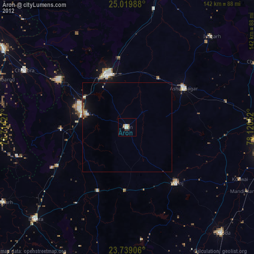
» Earth at Night: Flat Maps 2012, 2016