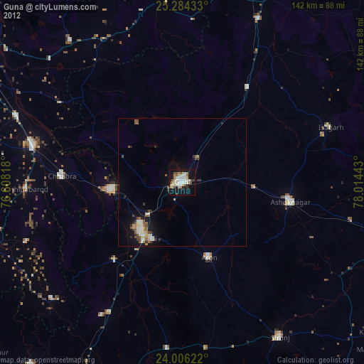
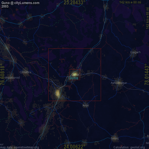
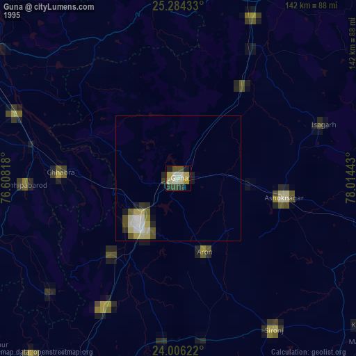
Guna night lights from space
Night Light of Guna (Madhya Pradesh) from space (India) Src. Average luminocity for 10x10km area is 58.2302% and for 50x50km: 11.2404%.
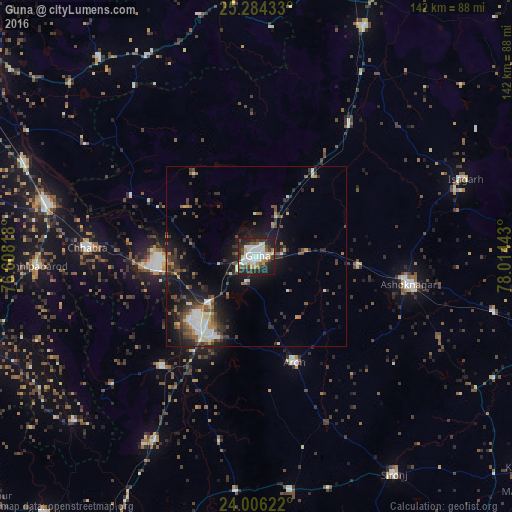
Analysis of Guna night lights 2016
Square area 10x10 km:
 16.47%
90-99
17.26%80-89
3.97%70-79
3.97%60-69
4.37%50-59
3.97%40-49
7.54%30-39
10.12%20-29
21.23%10-19
10.91%0-9
0.2%Square area 50x50 km:
1.36%90-99
2.08%80-89
0.82%70-79
0.89%60-69
0.86%50-59
1.78%40-49
1.92%30-39
2.91%20-29
3.97%10-19
8.16%0-9
75.25%Clear (daylight) street map image can be seen on geolist.org.
Map coordinates:
25° 17' 3.6" North, 76° 36' 29.4" East
24° 38' 48.9" North, 77° 18' 40.7" East
24° 0' 22.4" North, 78° 0' 51.9" East
Some cities around Guna sort by population:
• Ashoknagar
43.2 km =26.8 mi,  100°
100°
• Rāghogarh
25.4 km =15.8 mi,  206°
206°
• Chhabra
47.3 km =29.4 mi,  272°
272°
• Āron
31.4 km =19.5 mi,  160°
160°
• Kumbhrāj
40.4 km =25.1 mi,  221°
221°
• Badarwās
44.6 km =27.7 mi,  35°
35°
• Isāgarh
61.5 km =38.2 mi,  69°
69°
• Bijrauni
46.2 km =28.7 mi,  46°
46°
1270711 (p: 153,689)
Sources (retrieved 2019-11-25):
» NASA, Earths city lights 1995
» NASA city lights 2003
» Earth at Night: Flat Maps 2012, 2016