Sirohi night lights from space
Night Light of Sirohi (Rajasthan) from space (India) Src. Average luminocity for 10x10km area is 23.0928% and for 50x50km: 3.8528%.
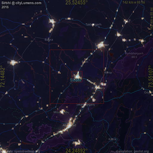
Analysis of Sirohi night lights 2016
Square area 10x10 km:
 2.27%
2.27%90-99
6.44%80-89
1.33%70-79
2.65%60-69
4.55%50-59
2.46%40-49
1.52%30-39
2.27%20-29
1.52%10-19
19.7%0-9
55.3%Square area 50x50 km:
0.22%90-99
0.76%80-89
0.22%70-79
0.39%60-69
0.61%50-59
0.54%40-49
0.43%30-39
0.73%20-29
0.52%10-19
2.48%0-9
93.09%Clear (daylight) street map image can be seen on geolist.org.
Map coordinates:
25° 31' 28.4" North, 72° 8' 41.4" East
24° 53' 18.2" North, 72° 50' 52.6" East
24° 14' 56.1" North, 73° 33' 3.9" East
Some cities around Sirohi sort by population:
• Ābu Road
45.9 km =28.5 mi,  188°
188°
• Jalor
56 km =34.8 mi,  335°
335°
• Bhīnmāl
59.4 km =36.9 mi,  281°
281°
• Sheoganj
35.6 km =22.1 mi,  38°
38°
• Ābu
35.3 km =21.9 mi,  201°
201°
• Pindwāra
23.2 km =14.4 mi,  115°
115°
• Bāli
56.3 km =35 mi,  52°
52°
• Takhatgarh
50.8 km =31.6 mi,  18°
18°
1256067 (p: 38,610)
Sources (retrieved 2019-11-25):
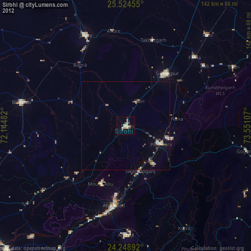
» Earth at Night: Flat Maps 2012, 2016