Kefar Yona night lights from space
Night Light of Kefar Yona (Central District) from space (Israel) Src. Average luminocity for 10x10km area is 87.5733% and for 50x50km: 53.4866%.
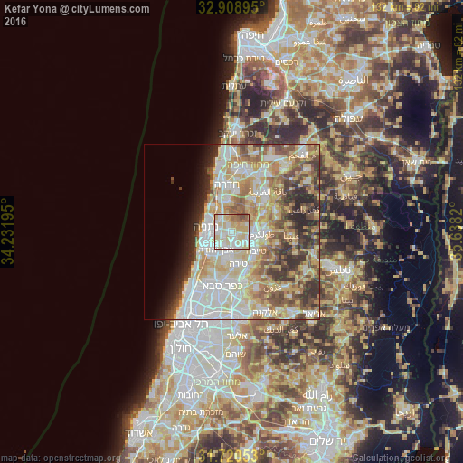
Analysis of Kefar Yona night lights 2016
Square area 10x10 km:
 19.23%
90-99
30.04%80-89
32.97%70-79
6.78%60-69
5.86%50-59
2.75%40-49
2.38%30-39
0%20-29
0%10-19
0%0-9
0%Square area 50x50 km:
11.44%90-99
13.3%80-89
11.31%70-79
7.7%60-69
5.97%50-59
6.13%40-49
6.19%30-39
5.1%20-29
6.36%10-19
3.33%0-9
23.17%Clear (daylight) street map image can be seen on geolist.org.
Map coordinates:
32° 54' 32.2" North, 34° 13' 55" East
32° 19' 0.1" North, 34° 56' 6.3" East
31° 43' 13.9" North, 35° 38' 17.5" East
Some cities around Kefar Yona sort by population:
• Netanya
7.3 km =4.5 mi,  284°
284°
• Ţūlkarm, PS
8.8 km =5.5 mi,  94°
94°
• Eṭ Ṭaiyiba
8.9 km =5.5 mi,  128°
128°
• Tirah
9.3 km =5.8 mi,  171°
171°
• Qalansuwa
5.6 km =3.5 mi, 129°
• Even Yehuda
6.9 km =4.3 mi,  220°
220°
• Tel Mond
7.6 km =4.7 mi,  192°
192°
• Pardesiyya
2.7 km =1.7 mi,  243°
243°
294492 (p: 21,611)
Sources (retrieved 2019-11-25):
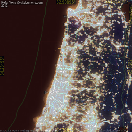
» Earth at Night: Flat Maps 2012, 2016