Netanya night lights from space
Night Light of Netanya (Central District) from space (Israel) Src. Average luminocity for 10x10km area is 71.2674% and for 50x50km: 44.4195%.
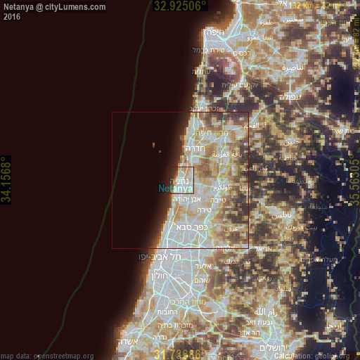
Analysis of Netanya night lights 2016
Square area 10x10 km:
 21.25%
90-99
23.63%80-89
13.37%70-79
7.88%60-69
1.47%50-59
1.83%40-49
3.85%30-39
4.76%20-29
11.9%10-19
9.16%0-9
0.92%Square area 50x50 km:
9.78%90-99
11.84%80-89
9.79%70-79
6.29%60-69
4.67%50-59
4.86%40-49
3.96%30-39
3.4%20-29
3.88%10-19
3.22%0-9
38.3%Clear (daylight) street map image can be seen on geolist.org.
Map coordinates:
32° 55' 30.2" North, 34° 9' 24.5" East
32° 19' 58.5" North, 34° 51' 35.7" East
31° 44' 12.7" North, 35° 33' 47" East
Some cities around Netanya sort by population:
• Hadera
12.8 km =8 mi,  18°
18°
• Eṭ Ṭaiyiba
15.8 km =9.8 mi,  117°
117°
• Kefar Yona
7.3 km =4.5 mi,  104°
104°
• Tirah
13.9 km =8.6 mi,  142°
142°
• Qalansuwa
12.6 km =7.8 mi, 115°
• Even Yehuda
7.5 km =4.7 mi,  159°
159°
• Tel Mond
10.7 km =6.6 mi,  149°
149°
• Pardesiyya
5.5 km =3.4 mi, 123°
294071 (p: 171,676)
Sources (retrieved 2019-11-25):
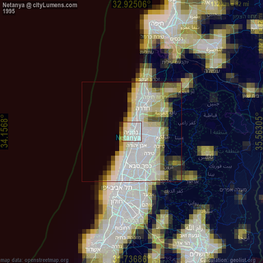
» NASA, Earths city lights 1995
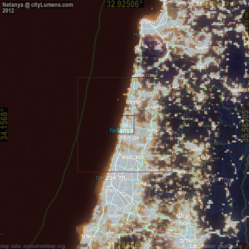
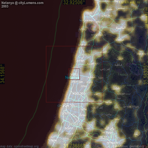
» NASA city lights 2003
» Earth at Night: Flat Maps 2012, 2016