Tralee night lights from space
Night Light of Tralee (Munster) from space (Ireland) Src. Average luminocity for 10x10km area is 16.9484% and for 50x50km: 1.652%.
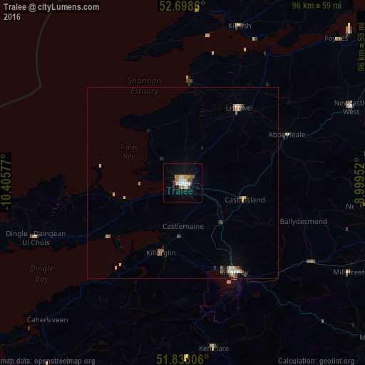
Analysis of Tralee night lights 2016
Square area 10x10 km:
 2.91%
2.91%90-99
3.7%80-89
0.4%70-79
2.25%60-69
3.04%50-59
1.72%40-49
1.32%30-39
1.06%20-29
0.66%10-19
13.1%0-9
69.84%Square area 50x50 km:
0.21%90-99
0.22%80-89
0.23%70-79
0.18%60-69
0.33%50-59
0.15%40-49
0.26%30-39
0.17%20-29
0.16%10-19
0.7%0-9
97.37%Clear (daylight) street map image can be seen on geolist.org.
Map coordinates:
52° 41' 55" North, 10° 24' 20.8" West
52° 16' 13.5" North, 9° 42' 9.5" West
51° 50' 17" North, 8° 59' 58.3" West
Some cities around Tralee sort by population:
• Luimneach
85.3 km =53 mi,  59°
59°
• Ennis
80 km =49.7 mi,  37°
37°
• Derry
88.2 km =54.8 mi,  149°
149°
• Shannon
74.5 km =46.3 mi,  49°
49°
• Mallow
74.4 km =46.2 mi,  101°
101°
• Cill Airne
26.9 km =16.7 mi, 150°
• Newcastle West
47.9 km =29.8 mi,  65°
65°
• Bandon
87.8 km =54.6 mi,  131°
131°
2961123 (p: 22,941)
Sources (retrieved 2019-11-25):
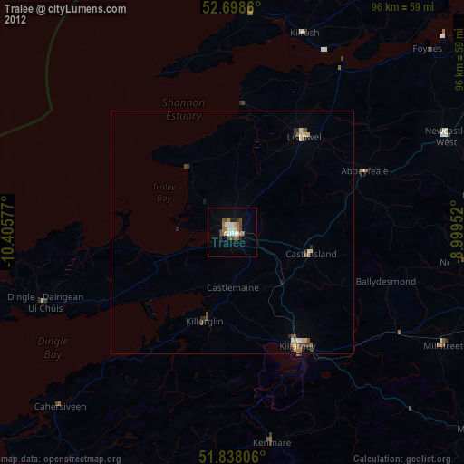
» Earth at Night: Flat Maps 2012, 2016