Newcastle West night lights from space
Night Light of Newcastle West (Munster) from space (Ireland) Src. Average luminocity for 10x10km area is 2.697% and for 50x50km: 0.7931%.
Analysis of Newcastle West night lights 2016
Square area 10x10 km:
 0.13%
0.13%90-99
0.88%80-89
0%70-79
0%60-69
1.01%50-59
0%40-49
0.88%30-39
0.13%20-29
1.01%10-19
0.51%0-9
95.45%Square area 50x50 km:
0.02%90-99
0.06%80-89
0.12%70-79
0.03%60-69
0.16%50-59
0.18%40-49
0.11%30-39
0.1%20-29
0.31%10-19
0.53%0-9
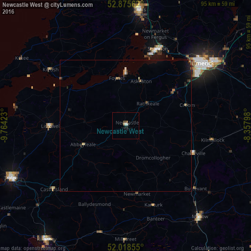
98.38%Clear (daylight) street map image can be seen on geolist.org.
Map coordinates:
52° 52' 32.2" North, 9° 45' 51.2" West
52° 26' 57" North, 9° 3' 40" West
52° 1' 6.8" North, 8° 21' 28.7" West
Some cities around Newcastle West sort by population:
• Cork
73.3 km =45.5 mi,  146°
146°
• Luimneach
38.1 km =23.7 mi,  51°
51°
• Ennis
44.1 km =27.4 mi,  6°
6°
• Tralee
47.9 km =29.8 mi,  245°
245°
• Shannon
31.3 km =19.4 mi,  25°
25°
• Mallow
45.6 km =28.3 mi,  140°
140°
• Cill Airne
52.9 km =32.9 mi,  215°
215°
• Nenagh
74.2 km =46.1 mi, 51°
2962283 (p: 6,327)
Sources (retrieved 2019-11-25):
» Earth at Night: Flat Maps 2012, 2016