Derry night lights from space
Night Light of Derry (Munster) from space (Ireland) Src. Average luminocity for 10x10km area is 0.508% and for 50x50km: 0.6408%.
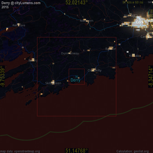
Analysis of Derry night lights 2016
Square area 10x10 km:
100  0%
0%
90-99 0%
80-89 0%
70-79 0%
60-69 0%
50-59 0.53%
40-49 0%
30-39 0.13%
20-29 0.4%
10-19 0%
0-9 98.93%
0%90-99
0%80-89
0%70-79
0%60-69
0%50-59
0.53%40-49
0%30-39
0.13%20-29
0.4%10-19
0%0-9
98.93%Square area 50x50 km:
100 0.01%
90-99 0.01%
80-89 0.09%
70-79 0.11%
60-69 0.17%
50-59 0.16%
40-49 0.18%
30-39 0.12%
20-29 0.2%
10-19 0.06%
0-9 98.89%
0.01%90-99
0.01%80-89
0.09%70-79
0.11%60-69
0.17%50-59
0.16%40-49
0.18%30-39
0.12%20-29
0.2%10-19
0.06%0-9
98.89%Clear (daylight) street map image can be seen on geolist.org.
Map coordinates:
52° 1' 17.1" North, 9° 45' 12.2" West
51° 35' 12" North, 9° 3' 0.9" West
51° 8' 51.6" North, 8° 20' 49.7" West
Some cities around Derry sort by population:
• Cork
52.8 km =32.8 mi,  49°
49°
• Tralee
88.2 km =54.8 mi,  329°
329°
• Carrigaline
51.4 km =31.9 mi,  60°
60°
• Cobh
59.7 km =37.1 mi, 60°
• Mallow
67.2 km =41.8 mi,  25°
25°
• Midleton
70.1 km =43.6 mi, 58°
• Cill Airne
61.3 km =38.1 mi, 329°
• Bandon
27.7 km =17.2 mi, 49°
2964820 (p: 10,000)
Sources (retrieved 2019-11-25):
» Earth at Night: Flat Maps 2012, 2016