Ennis night lights from space
Night Light of Ennis (Munster) from space (Ireland) Src. Average luminocity for 10x10km area is 18.0429% and for 50x50km: 3.4657%.
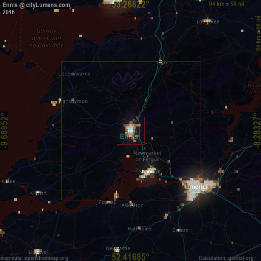
Analysis of Ennis night lights 2016
Square area 10x10 km:
 1.89%
1.89%90-99
2.15%80-89
1.01%70-79
1.14%60-69
3.54%50-59
6.19%40-49
2.9%30-39
3.41%20-29
0.51%10-19
14.27%0-9
63.01%Square area 50x50 km:
0.66%90-99
0.61%80-89
0.32%70-79
0.24%60-69
0.37%50-59
0.55%40-49
0.44%30-39
0.48%20-29
0.69%10-19
2.05%0-9
93.59%Clear (daylight) street map image can be seen on geolist.org.
Map coordinates:
53° 15' 58.4" North, 9° 41' 22.3" West
52° 50' 37" North, 8° 59' 11" West
52° 25' 0.7" North, 8° 16' 59.8" West
Some cities around Ennis sort by population:
• Luimneach
31.5 km =19.6 mi,  129°
129°
• Gaillimh
47.8 km =29.7 mi,  354°
354°
• Shannon
17.6 km =10.9 mi,  152°
152°
• Nenagh Bridge
53.2 km =33.1 mi,  85°
85°
• Ballinasloe
74.3 km =46.2 mi,  43°
43°
• Newcastle West
44.1 km =27.4 mi,  186°
186°
• Nenagh
53.1 km =33 mi, 87°
• Loughrea
48.3 km =30 mi, 35°
2964405 (p: 24,427)
Sources (retrieved 2019-11-25):
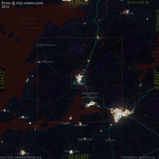
» Earth at Night: Flat Maps 2012, 2016