Shannon night lights from space
Night Light of Shannon (Munster) from space (Ireland) Src. Average luminocity for 10x10km area is 17.3466% and for 50x50km: 5.1284%.
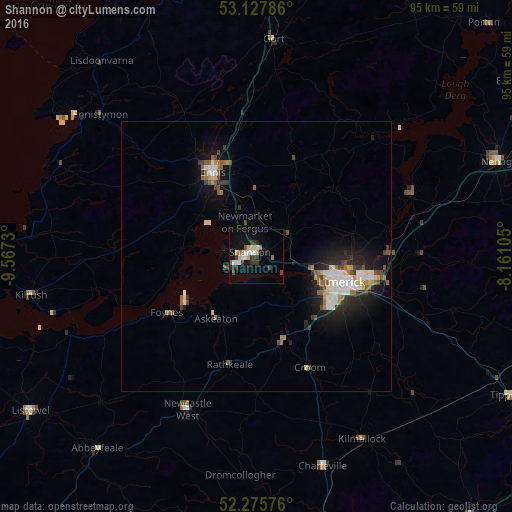
Analysis of Shannon night lights 2016
Square area 10x10 km:
 2.91%
2.91%90-99
2.38%80-89
2.65%70-79
1.19%60-69
1.46%50-59
1.32%40-49
1.98%30-39
4.1%20-29
3.04%10-19
12.96%0-9
66.01%Square area 50x50 km:
0.91%90-99
0.81%80-89
0.46%70-79
0.39%60-69
0.57%50-59
0.72%40-49
0.68%30-39
0.74%20-29
1.33%10-19
3.83%0-9
89.55%Clear (daylight) street map image can be seen on geolist.org.
Map coordinates:
53° 7' 40.3" North, 9° 34' 2.3" West
52° 42' 14" North, 8° 51' 51" West
52° 16' 32.7" North, 8° 9' 39.8" West
Some cities around Shannon sort by population:
• Luimneach
16.8 km =10.4 mi,  105°
105°
• Gaillimh
64.4 km =40 mi,  348°
348°
• Ennis
17.6 km =10.9 mi,  332°
332°
• Mallow
65.3 km =40.6 mi,  166°
166°
• Nenagh Bridge
49.1 km =30.5 mi,  66°
66°
• Newcastle West
31.3 km =19.4 mi,  205°
205°
• Nenagh
48.2 km =30 mi, 68°
• Loughrea
58.3 km =36.2 mi,  19°
19°
3310247 (p: 9,673)
Sources (retrieved 2019-11-25):
» Earth at Night: Flat Maps 2012, 2016