Sligo night lights from space
Night Light of Sligo (Connaught) from space (Ireland) Src. Average luminocity for 10x10km area is 14.7306% and for 50x50km: 1.2333%.
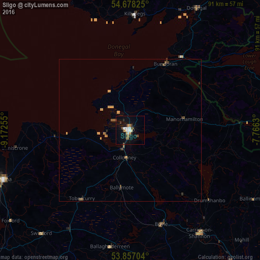
Analysis of Sligo night lights 2016
Square area 10x10 km:
 2.26%
2.26%90-99
2.38%80-89
0.38%70-79
2.51%60-69
1.38%50-59
1.88%40-49
1.75%30-39
2.01%20-29
1.75%10-19
11.53%0-9
72.18%Square area 50x50 km:
0.09%90-99
0.1%80-89
0.09%70-79
0.34%60-69
0.13%50-59
0.29%40-49
0.15%30-39
0.19%20-29
0.19%10-19
0.55%0-9
97.9%Clear (daylight) street map image can be seen on geolist.org.
Map coordinates:
54° 40' 41.7" North, 9° 10' 21.2" West
54° 16' 10.9" North, 8° 28' 9.9" West
53° 51' 25.3" North, 7° 45' 58.7" West
Some cities around Sligo sort by population:
• Omagh, GB
84.1 km =52.3 mi,  64°
64°
• Enniskillen, GB
54.4 km =33.8 mi,  81°
81°
• Castlebar
71.5 km =44.4 mi,  229°
229°
• Ballina
48.4 km =30.1 mi,  249°
249°
• Longford
74.7 km =46.4 mi,  144°
144°
• Cavan
78.6 km =48.8 mi,  113°
113°
• Roscommon
73.2 km =45.5 mi,  165°
165°
• Dromore, GB
70.8 km =44 mi,  67°
67°
2961423 (p: 20,228)
Sources (retrieved 2019-11-25):
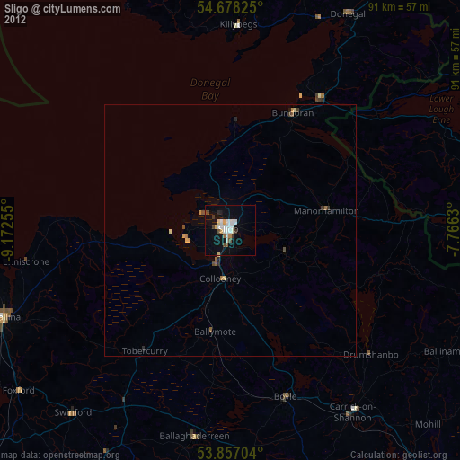
» Earth at Night: Flat Maps 2012, 2016