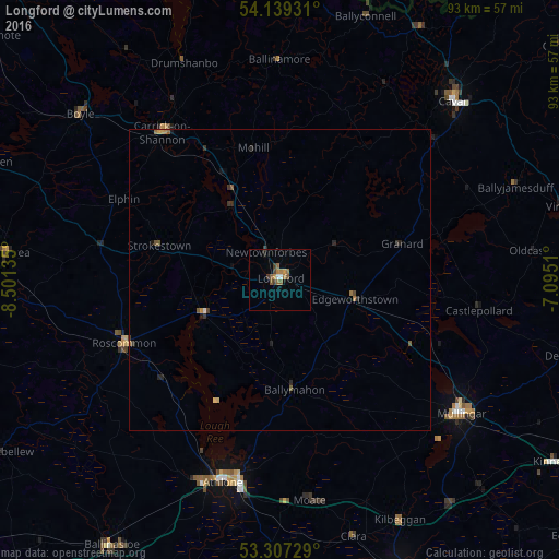
Longford night lights from space
Night Light of Longford (Leinster) from space (Ireland) Src. Average luminocity for 10x10km area is 7.0063% and for 50x50km: 0.6925%.
Analysis of Longford night lights 2016
Square area 10x10 km:
 0.76%
0.76%90-99
0.25%80-89
0%70-79
0.88%60-69
2.4%50-59
2.53%40-49
1.01%30-39
1.52%20-29
0%10-19
0.51%0-9
90.15%Square area 50x50 km:
0.04%90-99
0.02%80-89
0.05%70-79
0.1%60-69
0.18%50-59
0.22%40-49
0.09%30-39
0.21%20-29
0.16%10-19
0.12%0-9
98.8%Clear (daylight) street map image can be seen on geolist.org.
Map coordinates:
54° 8' 21.5" North, 8° 30' 4.9" West
53° 43' 31.3" North, 7° 47' 53.6" West
53° 18' 26.2" North, 7° 5' 42.4" West
Some cities around Longford sort by population:
• Athlone
34.9 km =21.7 mi,  195°
195°
• An Muileann gCearr
37.6 km =23.4 mi,  126°
126°
• Enniskillen, GB
69.8 km =43.4 mi,  8°
8°
• Tullamore
54.2 km =33.7 mi,  157°
157°
• Newtown Trim
70.3 km =43.7 mi,  105°
105°
• Ballinasloe
52.3 km =32.5 mi,  212°
212°
• Cavan
41.2 km =25.6 mi,  44°
44°
• Roscommon
27.3 km =17 mi,  248°
248°
2962840 (p: 7,787)
Sources (retrieved 2019-11-25):
» Earth at Night: Flat Maps 2012, 2016