Castlebar night lights from space
Night Light of Castlebar (Connaught) from space (Ireland) Src. Average luminocity for 10x10km area is 10.3717% and for 50x50km: 0.8886%.
Analysis of Castlebar night lights 2016
Square area 10x10 km:
 1.98%
1.98%90-99
2.78%80-89
0%70-79
0%60-69
1.46%50-59
1.59%40-49
2.12%30-39
0.79%20-29
0.4%10-19
1.59%0-9
87.3%Square area 50x50 km:
0.12%90-99
0.15%80-89
0.02%70-79
0.14%60-69
0.12%50-59
0.13%40-49
0.22%30-39
0.18%20-29
0.05%10-19
0.13%0-9
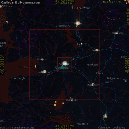
98.75%Clear (daylight) street map image can be seen on geolist.org.
Map coordinates:
54° 15' 45.8" North, 10° 0' 11.3" West
53° 51' 0" North, 9° 18' 0" West
53° 25' 59.4" North, 8° 35' 48.8" West
Some cities around Castlebar sort by population:
• Gaillimh
66.4 km =41.3 mi,  165°
165°
• Sligo
71.5 km =44.4 mi,  49°
49°
• Ballina
30.9 km =19.2 mi,  16°
16°
• Ballinasloe
92 km =57.2 mi,  129°
129°
• Westport
15.3 km =9.5 mi,  248°
248°
• Tuam
47.5 km =29.5 mi,  141°
141°
• Roscommon
77.3 km =48 mi,  108°
108°
• Loughrea
87.3 km =54.2 mi,  146°
146°
2965654 (p: 12,874)
Sources (retrieved 2019-11-25):
» Earth at Night: Flat Maps 2012, 2016