Enniskillen night lights from space
Night Light of Enniskillen (Northern Ireland) from space (United Kingdom) Src. Average luminocity for 10x10km area is 13.0727% and for 50x50km: 0.7989%.
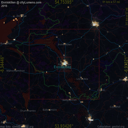
Analysis of Enniskillen night lights 2016
Square area 10x10 km:
 1.25%
1.25%90-99
2.13%80-89
2.01%70-79
2.13%60-69
0.5%50-59
1.38%40-49
3.63%30-39
0.88%20-29
0.13%10-19
6.89%0-9
79.07%Square area 50x50 km:
0.05%90-99
0.08%80-89
0.09%70-79
0.11%60-69
0.05%50-59
0.11%40-49
0.28%30-39
0.1%20-29
0.08%10-19
0.37%0-9
98.66%Clear (daylight) street map image can be seen on geolist.org.
Map coordinates:
54° 45' 14.2" North, 8° 20' 40.1" West
54° 20' 46.1" North, 7° 38' 28.8" West
53° 56' 3.3" North, 6° 56' 17.6" West
Some cities around Enniskillen sort by population:
• Omagh
35.8 km =22.2 mi,  38°
38°
• Sligo, IE
54.4 km =33.8 mi,  261°
261°
• Armagh
63.2 km =39.3 mi,  89°
89°
• Strabane
54.2 km =33.7 mi,  11°
11°
• Dungannon
59.2 km =36.8 mi,  72°
72°
• Cavan, IE
43.5 km =27 mi,  155°
155°
• Monaghan, IE
45.1 km =28 mi,  103°
103°
• Dromore
22 km =13.7 mi,  32°
32°
2649984 (p: 14,472)
Sources (retrieved 2019-11-25):
» Earth at Night: Flat Maps 2012, 2016