Omagh night lights from space
Night Light of Omagh (Northern Ireland) from space (United Kingdom) Src. Average luminocity for 10x10km area is 13.5048% and for 50x50km: 0.9782%.
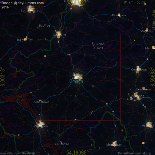
Analysis of Omagh night lights 2016
Square area 10x10 km:
 1.08%
1.08%90-99
1.79%80-89
1.32%70-79
2.39%60-69
1.2%50-59
2.39%40-49
2.75%30-39
2.51%20-29
1.2%10-19
5.14%0-9
78.23%Square area 50x50 km:
0.04%90-99
0.07%80-89
0.05%70-79
0.12%60-69
0.18%50-59
0.24%40-49
0.18%30-39
0.14%20-29
0.24%10-19
0.36%0-9
98.36%Clear (daylight) street map image can be seen on geolist.org.
Map coordinates:
55° 0' 19" North, 8° 0' 11.3" West
54° 36' 0" North, 7° 18' 0" West
54° 11' 26.3" North, 6° 35' 48.8" West
Some cities around Omagh sort by population:
• Londonderry County Borough
44.2 km =27.5 mi,  359°
359°
• Derry
44.3 km =27.5 mi, 359°
• Enniskillen
35.8 km =22.2 mi,  218°
218°
• Strabane
27.1 km =16.8 mi,  336°
336°
• Dungannon
36 km =22.4 mi,  107°
107°
• Cookstown
36 km =22.4 mi,  82°
82°
• Dromore
14.1 km =8.8 mi,  226°
226°
• Coalisland
39.1 km =24.3 mi,  99°
99°
2640967 (p: 21,056)
Sources (retrieved 2019-11-25):
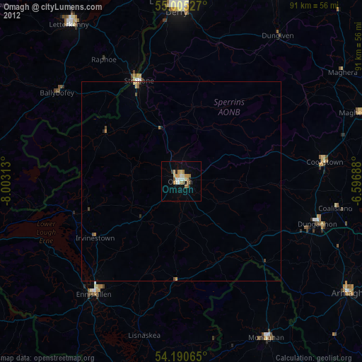
» Earth at Night: Flat Maps 2012, 2016