Roscommon night lights from space
Night Light of Roscommon (Connaught) from space (Ireland) Src. Average luminocity for 10x10km area is 4.327% and for 50x50km: 1.1999%.
Analysis of Roscommon night lights 2016
Square area 10x10 km:
 0%
0%90-99
0%80-89
0.51%70-79
1.26%60-69
1.26%50-59
0.51%40-49
1.39%30-39
1.14%20-29
0.63%10-19
0.38%0-9
92.93%Square area 50x50 km:
0.09%90-99
0.09%80-89
0.1%70-79
0.27%60-69
0.15%50-59
0.29%40-49
0.22%30-39
0.24%20-29
0.24%10-19
0.44%0-9
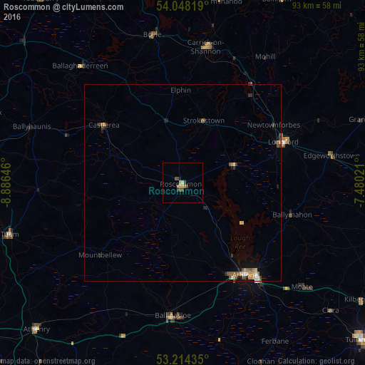
97.86%Clear (daylight) street map image can be seen on geolist.org.
Map coordinates:
54° 2' 53.5" North, 8° 53' 11.3" West
53° 37' 60" North, 8° 10' 60" West
53° 12' 51.7" North, 7° 28' 48.8" West
Some cities around Roscommon sort by population:
• Athlone
28.5 km =17.7 mi,  145°
145°
• An Muileann gCearr
57.1 km =35.5 mi,  102°
102°
• Tullamore
60.9 km =37.8 mi,  130°
130°
• Longford
27.3 km =17 mi,  68°
68°
• Cavan
67.1 km =41.7 mi,  53°
53°
• Ballinasloe
34.1 km =21.2 mi,  184°
184°
• Tuam
45.9 km =28.5 mi,  253°
253°
• Loughrea
54.8 km =34.1 mi,  207°
207°
2961732 (p: 5,693)
Sources (retrieved 2019-11-25):
» Earth at Night: Flat Maps 2012, 2016