Dromore night lights from space
Night Light of Dromore (Northern Ireland) from space (United Kingdom) Src. Average luminocity for 10x10km area is 0.0909% and for 50x50km: 1.3174%.
Analysis of Dromore night lights 2016
Square area 10x10 km:
 0%
0%90-99
0%80-89
0%70-79
0%60-69
0%50-59
0%40-49
0%30-39
0%20-29
0%10-19
0.48%0-9
99.52%Square area 50x50 km:
0.09%90-99
0.16%80-89
0.15%70-79
0.19%60-69
0.1%50-59
0.23%40-49
0.34%30-39
0.18%20-29
0.15%10-19
0.59%0-9
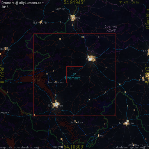
97.8%Clear (daylight) street map image can be seen on geolist.org.
Map coordinates:
54° 55' 10" North, 8° 9' 43.1" West
54° 30' 47.9" North, 7° 27' 31.9" West
54° 6' 11.1" North, 6° 45' 20.6" West
Some cities around Dromore sort by population:
• Omagh
14.1 km =8.8 mi,  46°
46°
• Letterkenny, IE
51.7 km =32.1 mi,  340°
340°
• Enniskillen
22 km =13.7 mi,  212°
212°
• Strabane
34.5 km =21.4 mi,  358°
358°
• Dungannon
44.7 km =27.8 mi,  91°
91°
• Cookstown
48.2 km =30 mi,  72°
72°
• Monaghan, IE
43.3 km =26.9 mi,  132°
132°
• Coalisland
49 km =30.4 mi, 86°
2650976 (p: 5,641)
Sources (retrieved 2019-11-25):
» Earth at Night: Flat Maps 2012, 2016