An Muileann gCearr night lights from space
Night Light of An Muileann gCearr (Leinster) from space (Ireland) Src. Average luminocity for 10x10km area is 13.1984% and for 50x50km: 1.0791%.
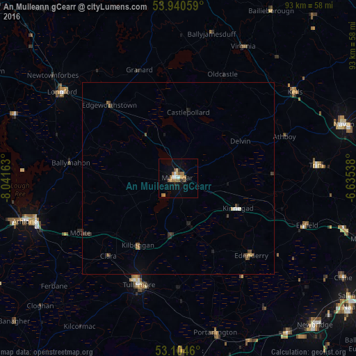
Analysis of An Muileann gCearr night lights 2016
Square area 10x10 km:
 1.59%
1.59%90-99
1.06%80-89
1.06%70-79
2.12%60-69
4.63%50-59
1.72%40-49
1.06%30-39
0.53%20-29
1.59%10-19
3.31%0-9
81.35%Square area 50x50 km:
0.09%90-99
0.09%80-89
0.08%70-79
0.12%60-69
0.25%50-59
0.18%40-49
0.19%30-39
0.18%20-29
0.22%10-19
0.26%0-9
98.33%Clear (daylight) street map image can be seen on geolist.org.
Map coordinates:
53° 56' 26.1" North, 8° 2' 29.9" West
53° 31' 28.8" North, 7° 20' 18.6" West
53° 6' 16.6" North, 6° 38' 7.4" West
Some cities around An Muileann gCearr sort by population:
• Navan
45.6 km =28.3 mi,  71°
71°
• Athlone
41.2 km =25.6 mi,  254°
254°
• Tullamore
29.6 km =18.4 mi,  199°
199°
• Portarlington
41.5 km =25.8 mi,  166°
166°
• Longford
37.6 km =23.4 mi,  306°
306°
• Newtown Trim
37.7 km =23.4 mi,  84°
84°
• Cherryville
47.8 km =29.7 mi,  148°
148°
• Kilcock
46.2 km =28.7 mi,  107°
107°
2962361 (p: 17,262)
Sources (retrieved 2019-11-25):
» Earth at Night: Flat Maps 2012, 2016