Tullamore night lights from space
Night Light of Tullamore (Leinster) from space (Ireland) Src. Average luminocity for 10x10km area is 11.7311% and for 50x50km: 1.2656%.
Analysis of Tullamore night lights 2016
Square area 10x10 km:
 1.01%
1.01%90-99
1.01%80-89
2.02%70-79
1.14%60-69
1.77%50-59
2.9%40-49
1.77%30-39
1.52%20-29
1.01%10-19
2.27%0-9
83.59%Square area 50x50 km:
0.04%90-99
0.06%80-89
0.11%70-79
0.14%60-69
0.29%50-59
0.28%40-49
0.21%30-39
0.24%20-29
0.26%10-19
0.63%0-9
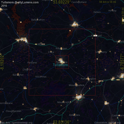
97.74%Clear (daylight) street map image can be seen on geolist.org.
Map coordinates:
53° 41' 32.2" North, 8° 11' 31.3" West
53° 16' 26" North, 7° 29' 20" West
52° 51' 4.9" North, 6° 47' 8.8" West
Some cities around Tullamore sort by population:
• Athlone
34.1 km =21.2 mi,  299°
299°
• An Muileann gCearr
29.6 km =18.4 mi,  19°
19°
• Portlaoise
29.5 km =18.3 mi,  154°
154°
• Athy
46.2 km =28.7 mi,  132°
132°
• Kildare
40.4 km =25.1 mi,  108°
108°
• Portarlington
23.4 km =14.5 mi,  122°
122°
• Cherryville
37.1 km =23.1 mi, 110°
• Roscrea
41.5 km =25.8 mi,  210°
210°
2961086 (p: 11,575)
Sources (retrieved 2019-11-25):
» Earth at Night: Flat Maps 2012, 2016