Ballinasloe night lights from space
Night Light of Ballinasloe (Connaught) from space (Ireland) Src. Average luminocity for 10x10km area is 4.5505% and for 50x50km: 1.2989%.
Analysis of Ballinasloe night lights 2016
Square area 10x10 km:
 0%
0%90-99
0.51%80-89
0.51%70-79
0.51%60-69
0.13%50-59
1.77%40-49
1.14%30-39
2.15%20-29
0.88%10-19
0.51%0-9
91.92%Square area 50x50 km:
0.1%90-99
0.12%80-89
0.16%70-79
0.19%60-69
0.14%50-59
0.33%40-49
0.24%30-39
0.23%20-29
0.15%10-19
0.52%0-9
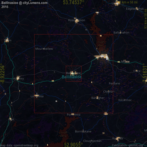
97.8%Clear (daylight) street map image can be seen on geolist.org.
Map coordinates:
53° 44' 43.3" North, 8° 55' 21.2" West
53° 19' 39" North, 8° 13' 10" West
52° 54' 19.8" North, 7° 30' 58.7" West
Some cities around Ballinasloe sort by population:
• Athlone
21.5 km =13.4 mi,  60°
60°
• Tullamore
48.9 km =30.4 mi,  97°
97°
• Nenagh Bridge
49.6 km =30.8 mi,  178°
178°
• Tuam
46.8 km =29.1 mi,  296°
296°
• Roscommon
34.1 km =21.2 mi,  4°
4°
• Nenagh
51.8 km =32.2 mi, 178°
• Roscrea
50.3 km =31.3 mi,  146°
146°
• Loughrea
27.3 km =17 mi,  237°
237°
2966753 (p: 6,388)
Sources (retrieved 2019-11-25):
» Earth at Night: Flat Maps 2012, 2016