Athlone night lights from space
Night Light of Athlone (Leinster) from space (Ireland) Src. Average luminocity for 10x10km area is 19.3175% and for 50x50km: 1.3759%.
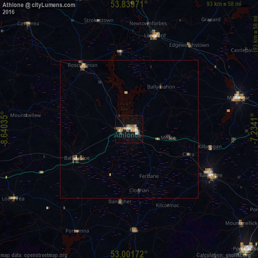
Analysis of Athlone night lights 2016
Square area 10x10 km:
 2.38%
2.38%90-99
2.38%80-89
1.06%70-79
4.23%60-69
1.98%50-59
4.89%40-49
3.17%30-39
0.4%20-29
1.19%10-19
11.77%0-9
66.53%Square area 50x50 km:
0.09%90-99
0.11%80-89
0.15%70-79
0.25%60-69
0.14%50-59
0.33%40-49
0.25%30-39
0.28%20-29
0.28%10-19
0.53%0-9
97.58%Clear (daylight) street map image can be seen on geolist.org.
Map coordinates:
53° 50' 23" North, 8° 38' 25.3" West
53° 25' 22" North, 7° 56' 14" West
53° 0' 6.2" North, 7° 14' 2.8" West
Some cities around Athlone sort by population:
• An Muileann gCearr
41.2 km =25.6 mi,  74°
74°
• Tullamore
34.1 km =21.2 mi,  119°
119°
• Portarlington
57.4 km =35.7 mi, 120°
• Longford
34.9 km =21.7 mi,  15°
15°
• Ballinasloe
21.5 km =13.4 mi,  240°
240°
• Roscommon
28.5 km =17.7 mi,  325°
325°
• Roscrea
53.2 km =33.1 mi,  170°
170°
• Loughrea
48.8 km =30.3 mi, 239°
3313472 (p: 21,351)
Sources (retrieved 2019-11-25):
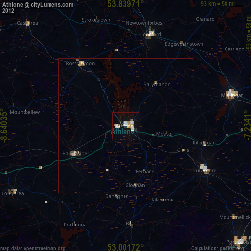
» Earth at Night: Flat Maps 2012, 2016