Dunboyne night lights from space
Night Light of Dunboyne (Leinster) from space (Ireland) Src. Average luminocity for 10x10km area is 32% and for 50x50km: 24.6702%.
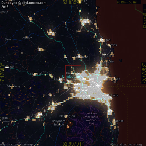
Analysis of Dunboyne night lights 2016
Square area 10x10 km:
 8.07%
8.07%90-99
6.35%80-89
1.98%70-79
1.72%60-69
2.51%50-59
0.93%40-49
3.57%30-39
6.35%20-29
16.53%10-19
27.51%0-9
24.47%Square area 50x50 km:
8.34%90-99
5.54%80-89
1.87%70-79
1.92%60-69
1.82%50-59
1.83%40-49
2.24%30-39
2.71%20-29
5.08%10-19
10.26%0-9
58.4%Clear (daylight) street map image can be seen on geolist.org.
Map coordinates:
53° 50' 9.5" North, 7° 10' 36.8" West
53° 25' 8.4" North, 6° 28' 25.5" West
52° 59' 52.5" North, 5° 46' 14.3" West
Some cities around Dunboyne sort by population:
• Celbridge
9.8 km =6.1 mi,  208°
208°
• Blanchardstown
7.4 km =4.6 mi,  117°
117°
• Leixlip
6.1 km =3.8 mi,  193°
193°
• Lucan
7.1 km =4.4 mi,  166°
166°
• Maynooth
8.8 km =5.5 mi,  244°
244°
• Castleknock
8.8 km =5.5 mi, 123°
• Hartstown
4.2 km =2.6 mi,  132°
132°
• Confey
4.6 km =2.9 mi, 194°
2964547 (p: 6,959)
Sources (retrieved 2019-11-25):
» Earth at Night: Flat Maps 2012, 2016