Lucan night lights from space
Night Light of Lucan (Leinster) from space (Ireland) Src. Average luminocity for 10x10km area is 68.8823% and for 50x50km: 25.3086%.
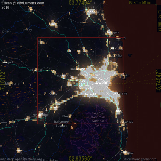
Analysis of Lucan night lights 2016
Square area 10x10 km:
 24.34%
90-99
21.3%80-89
7.14%70-79
1.85%60-69
4.5%50-59
5.16%40-49
7.94%30-39
7.8%20-29
14.68%10-19
5.29%0-9
0%Square area 50x50 km:
8.38%90-99
5.62%80-89
1.88%70-79
2.02%60-69
1.85%50-59
1.82%40-49
2.4%30-39
2.81%20-29
5.35%10-19
11.73%0-9
56.14%Clear (daylight) street map image can be seen on geolist.org.
Map coordinates:
53° 46' 29.8" North, 7° 9' 6.2" West
53° 21' 26.5" North, 6° 26' 54.9" West
52° 56' 8.3" North, 5° 44' 43.7" West
Some cities around Lucan sort by population:
• Blanchardstown
5.9 km =3.7 mi,  54°
54°
• Leixlip
3.3 km =2.1 mi,  286°
286°
• Clondalkin
5 km =3.1 mi,  137°
137°
• Castleknock
6 km =3.7 mi,  71°
71°
• Cherry Orchard
5.3 km =3.3 mi,  116°
116°
• Palmerstown
4.8 km =3 mi,  99°
99°
• Hartstown
4.2 km =2.6 mi,  19°
19°
• Confey
3.7 km =2.3 mi,  311°
311°
2962785 (p: 15,269)
Sources (retrieved 2019-11-25):
» Earth at Night: Flat Maps 2012, 2016