Celbridge night lights from space
Night Light of Celbridge (Leinster) from space (Ireland) Src. Average luminocity for 10x10km area is 32.9066% and for 50x50km: 21.7866%.
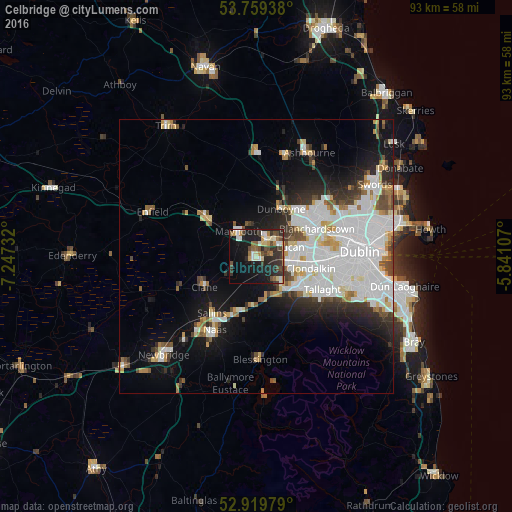
Analysis of Celbridge night lights 2016
Square area 10x10 km:
 3.16%
3.16%90-99
5.68%80-89
3.66%70-79
2.65%60-69
4.17%50-59
4.8%40-49
6.19%30-39
7.2%20-29
13.51%10-19
27.9%0-9
21.09%Square area 50x50 km:
7.63%90-99
4.88%80-89
1.59%70-79
1.75%60-69
1.59%50-59
1.49%40-49
2.1%30-39
2.21%20-29
3.88%10-19
8.56%0-9
64.32%Clear (daylight) street map image can be seen on geolist.org.
Map coordinates:
53° 45' 33.8" North, 7° 14' 50.4" West
53° 20' 29.9" North, 6° 32' 39.1" West
52° 55' 11.2" North, 5° 50' 27.9" West
Some cities around Celbridge sort by population:
• Leixlip
4.2 km =2.6 mi,  50°
50°
• Lucan
6.6 km =4.1 mi,  74°
74°
• Clondalkin
9.9 km =6.2 mi,  101°
101°
• Maynooth
5.8 km =3.6 mi,  325°
325°
• Dunboyne
9.8 km =6.1 mi,  28°
28°
• Hartstown
9.7 km =6 mi, 53°
• Kilcock
10.8 km =6.7 mi,  308°
308°
• Confey
5.5 km =3.4 mi,  40°
40°
2965529 (p: 19,537)
Sources (retrieved 2019-11-25):
» Earth at Night: Flat Maps 2012, 2016