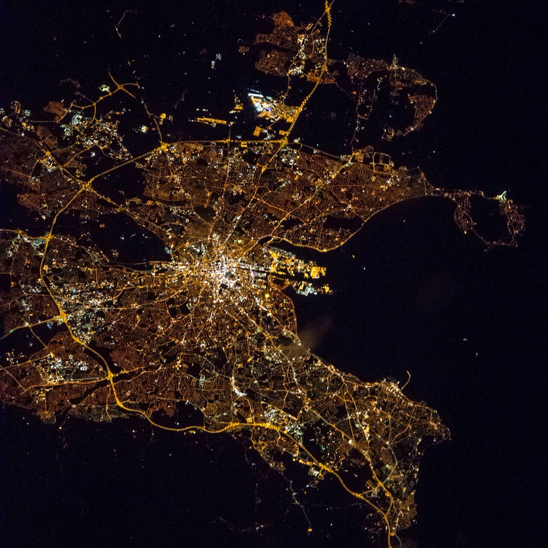
Dublin night lights from space
Night Light of Dublin (Leinster) from space (Ireland) Src. Average luminocity for 10x10km area is 95.0051% and for 50x50km: 23.1965%.
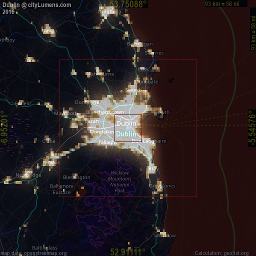
Analysis of Dublin night lights 2016
Square area 10x10 km:
 63.51%
90-99
23.23%80-89
3.54%70-79
2.65%60-69
1.77%50-59
1.89%40-49
3.28%30-39
0.13%20-29
0%10-19
0%0-9
0%Square area 50x50 km:
8.08%90-99
5.29%80-89
1.67%70-79
1.67%60-69
1.62%50-59
1.62%40-49
2.15%30-39
2.63%20-29
5.16%10-19
9.59%0-9
60.52%Clear (daylight) street map image can be seen on geolist.org.
Map coordinates:
53° 45' 3.2" North, 6° 57' 7.2" West
53° 19' 59" North, 6° 14' 56" West
52° 54' 40" North, 5° 32' 44.7" West
Fantastic image of Dublin from space taken by astronauts [src2], but I don't have information about it's orientation, scale or angle. If necessary, it was rotated manually, so North points approximately to upper direction. Click to zoom in:
Some cities around Dublin sort by population:
• Rathmines
1.7 km =1.1 mi,  214°
214°
• Marino
4.2 km =2.6 mi,  11°
11°
• Donnybrook
2.8 km =1.7 mi,  141°
141°
• Sandymount
1.9 km =1.2 mi,  107°
107°
• Rathgar
2.7 km =1.7 mi,  220°
220°
• Ringsend
1.8 km =1.1 mi,  56°
56°
• Terenure
3.5 km =2.2 mi, 222°
• Greenhills
3.6 km =2.2 mi,  272°
272°
2964574 (p: 1,024,027)
Sources (retrieved 2019-11-25):
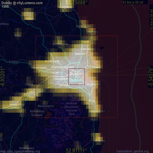
» NASA, Earths city lights 1995
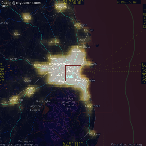
» NASA city lights 2003
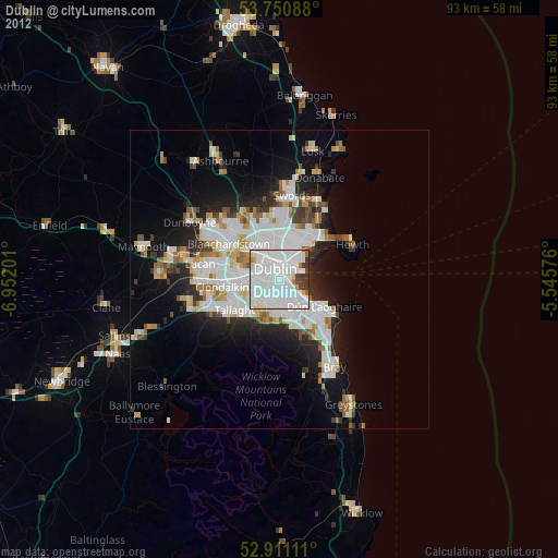
» Earth at Night: Flat Maps 2012, 2016
Src.2: Shane Kimbrough Twitter@astro_kimbroughĀĀ2017-03-17