Rathmines night lights from space
Night Light of Rathmines (Leinster) from space (Ireland) Src. Average luminocity for 10x10km area is 96.8144% and for 50x50km: 23.5284%.
Analysis of Rathmines night lights 2016
Square area 10x10 km:
 62.63%
90-99
26.26%80-89
5.43%70-79
3.28%60-69
0.88%50-59
1.14%40-49
0.38%30-39
0%20-29
0%10-19
0%0-9
0%Square area 50x50 km:
8.19%90-99
5.36%80-89
1.69%70-79
1.71%60-69
1.64%50-59
1.62%40-49
2.19%30-39
2.67%20-29
5.23%10-19
9.86%0-9
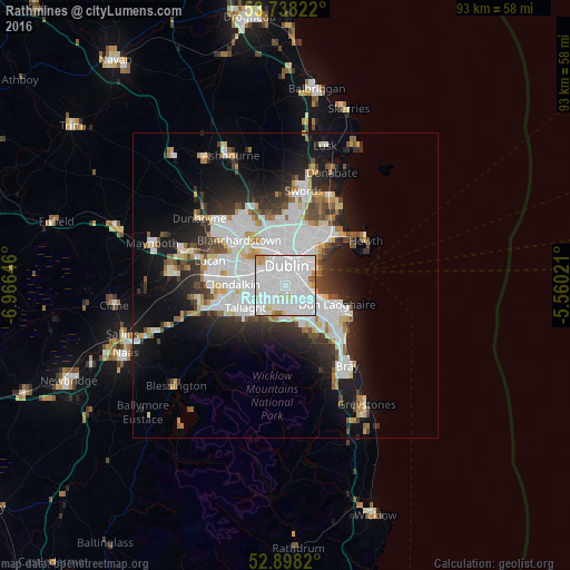
59.85%Clear (daylight) street map image can be seen on geolist.org.
Map coordinates:
53° 44' 17.6" North, 6° 57' 59.3" West
53° 19' 13" North, 6° 15' 48" West
52° 53' 53.5" North, 5° 33' 36.8" West
Some cities around Rathmines sort by population:
• Dublin
1.7 km =1.1 mi,  34°
34°
• Dundrum
3.3 km =2.1 mi,  172°
172°
• Donnybrook
2.8 km =1.7 mi,  105°
105°
• Sandymount
2.9 km =1.8 mi,  72°
72°
• Rathgar
1 km =0.6 mi,  230°
230°
• Ringsend
3.4 km =2.1 mi,  45°
45°
• Terenure
1.9 km =1.2 mi, 231°
• Greenhills
3.1 km =1.9 mi,  301°
301°
2961896 (p: 11,044)
Sources (retrieved 2019-11-25):
» Earth at Night: Flat Maps 2012, 2016