Donnybrook night lights from space
Night Light of Donnybrook (Leinster) from space (Ireland) Src. Average luminocity for 10x10km area is 87.7614% and for 50x50km: 23.057%.
Analysis of Donnybrook night lights 2016
Square area 10x10 km:
 54.29%
90-99
21.59%80-89
2.53%70-79
2.65%60-69
3.03%50-59
2.4%40-49
4.17%30-39
6.94%20-29
2.4%10-19
0%0-9
0%Square area 50x50 km:
8.15%90-99
5.3%80-89
1.66%70-79
1.64%60-69
1.62%50-59
1.56%40-49
2.15%30-39
2.59%20-29
5.19%10-19
9.21%0-9
60.93%Clear (daylight) street map image can be seen on geolist.org.
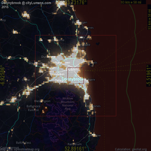
Map coordinates:
53° 43' 54.3" North, 6° 55' 33.1" West
53° 18' 49.5" North, 6° 13' 21.9" West
52° 53' 29.8" North, 5° 31' 10.6" West
Some cities around Donnybrook sort by population:
• Dublin
2.8 km =1.7 mi,  321°
321°
• Dundrum
3.4 km =2.1 mi,  221°
221°
• Rathmines
2.8 km =1.7 mi,  285°
285°
• Sandymount
1.6 km =1 mi,  1°
1°
• Blackrock
3.3 km =2.1 mi,  114°
114°
• Ringsend
3.1 km =1.9 mi,  355°
355°
• Mount Merrion
1.6 km =1 mi,  161°
161°
• Booterstown
1.8 km =1.1 mi,  124°
124°
2964745 (p: 10,645)
Sources (retrieved 2019-11-25):
» Earth at Night: Flat Maps 2012, 2016