Arklow night lights from space
Night Light of Arklow (Leinster) from space (Ireland) Src. Average luminocity for 10x10km area is 4.9356% and for 50x50km: 0.9027%.
Analysis of Arklow night lights 2016
Square area 10x10 km:
 0%
0%90-99
0%80-89
0.51%70-79
1.52%60-69
1.01%50-59
2.02%40-49
0.51%30-39
0.63%20-29
1.26%10-19
0.13%0-9
92.42%Square area 50x50 km:
0.03%90-99
0.08%80-89
0.1%70-79
0.15%60-69
0.15%50-59
0.19%40-49
0.23%30-39
0.18%20-29
0.17%10-19
0.19%0-9
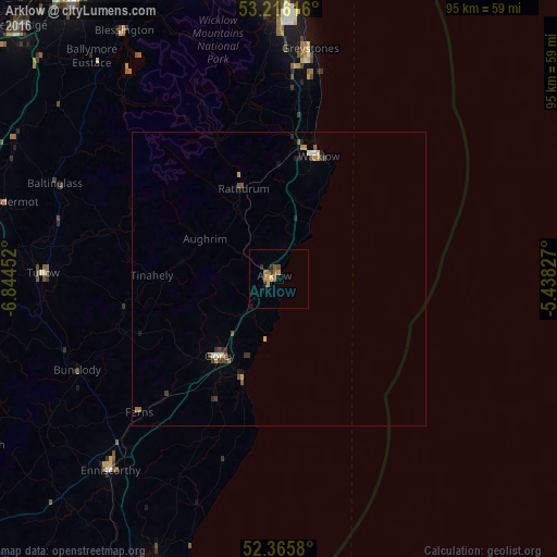
98.54%Clear (daylight) street map image can be seen on geolist.org.
Map coordinates:
53° 12' 58.2" North, 6° 50' 40.3" West
52° 47' 35" North, 6° 8' 29" West
52° 21' 56.9" North, 5° 26' 17.8" West
Some cities around Arklow sort by population:
• Bray
45.6 km =28.3 mi,  3°
3°
• Kilquade
34.1 km =21.2 mi,  6°
6°
• Wicklow
21.1 km =13.1 mi,  16°
16°
• Greystones
39 km =24.2 mi, 7°
• Shankill
48.2 km =30 mi, 1°
• Enniscorthy
43 km =26.7 mi,  220°
220°
• Little Bray
45.8 km =28.5 mi, 1°
• Gorey
16.6 km =10.3 mi, 217°
2966883 (p: 11,761)
Sources (retrieved 2019-11-25):
» Earth at Night: Flat Maps 2012, 2016