Wicklow night lights from space
Night Light of Wicklow (Leinster) from space (Ireland) Src. Average luminocity for 10x10km area is 6.2566% and for 50x50km: 1.5181%.
Analysis of Wicklow night lights 2016
Square area 10x10 km:
 0%
0%90-99
1.19%80-89
0.93%70-79
0.93%60-69
1.19%50-59
1.19%40-49
0.79%30-39
0.66%20-29
1.32%10-19
1.46%0-9
90.34%Square area 50x50 km:
0.06%90-99
0.19%80-89
0.17%70-79
0.25%60-69
0.22%50-59
0.3%40-49
0.23%30-39
0.16%20-29
0.31%10-19
1.28%0-9
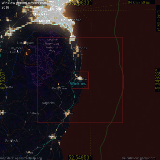
96.84%Clear (daylight) street map image can be seen on geolist.org.
Map coordinates:
53° 23' 46.8" North, 6° 45' 9.3" West
52° 58' 30" North, 6° 2' 58" West
52° 32' 58.3" North, 5° 20' 46.8" West
Some cities around Wicklow sort by population:
• Bray
25.5 km =15.8 mi,  352°
352°
• Kilquade
13.8 km =8.6 mi, 350°
• Greystones
18.5 km =11.5 mi,  357°
357°
• Foxrock
33.5 km =20.8 mi, 345°
• Arklow
21.1 km =13.1 mi,  196°
196°
• Shankill
28.4 km =17.6 mi, 349°
• Cabinteely
33.6 km =20.9 mi, 347°
• Little Bray
26 km =16.2 mi, 349°
2960936 (p: 14,048)
Sources (retrieved 2019-11-25):
» Earth at Night: Flat Maps 2012, 2016