Enniscorthy night lights from space
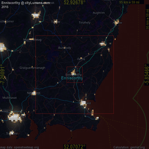
Night Light of Enniscorthy (Leinster) from space (Ireland) Src. Average luminocity for 10x10km area is 5.881% and for 50x50km: 1.52%.
Analysis of Enniscorthy night lights 2016
Square area 10x10 km:
 0.53%
0.53%90-99
0.53%80-89
0.79%70-79
1.32%60-69
0%50-59
2.38%40-49
0.93%30-39
0.53%20-29
0.66%10-19
0.53%0-9
91.8%Square area 50x50 km:
0.17%90-99
0.19%80-89
0.14%70-79
0.14%60-69
0.11%50-59
0.28%40-49
0.37%30-39
0.26%20-29
0.2%10-19
0.66%0-9
97.47%Clear (daylight) street map image can be seen on geolist.org.
Map coordinates:
52° 55' 36.4" North, 7° 15' 39.3" West
52° 30' 3" North, 6° 33' 28" West
52° 4' 14.6" North, 5° 51' 16.8" West
Some cities around Enniscorthy sort by population:
• Waterford
46.3 km =28.8 mi,  234°
234°
• Kilkenny
49.9 km =31 mi,  289°
289°
• Carlow
45.2 km =28.1 mi,  326°
326°
• Loch Garman
19.7 km =12.2 mi,  159°
159°
• Arklow
43 km =26.7 mi,  40°
40°
• Trá Mhór
55.2 km =34.3 mi, 227°
• New Ross
28.2 km =17.5 mi,  245°
245°
• Gorey
26.4 km =16.4 mi, 42°
2964403 (p: 9,709)
Sources (retrieved 2019-11-25):
» Earth at Night: Flat Maps 2012, 2016