Bray night lights from space
Night Light of Bray (Leinster) from space (Ireland) Src. Average luminocity for 10x10km area is 28.8182% and for 50x50km: 17.8587%.

Analysis of Bray night lights 2016
Square area 10x10 km:
 6.19%
6.19%90-99
7.2%80-89
1.77%70-79
1.52%60-69
2.27%50-59
1.77%40-49
2.27%30-39
5.18%20-29
12.37%10-19
26.14%0-9
33.33%Square area 50x50 km:
7.59%90-99
4.66%80-89
1.26%70-79
0.98%60-69
0.96%50-59
0.93%40-49
1.27%30-39
1.72%20-29
2.92%10-19
4.16%0-9
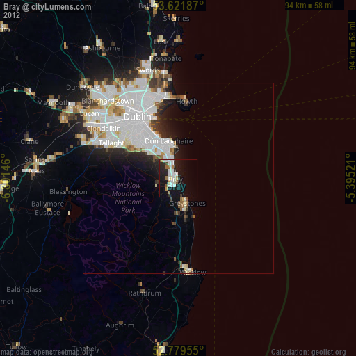
73.56%Clear (daylight) street map image can be seen on geolist.org.
Map coordinates:
53° 37' 18.7" North, 6° 48' 5.3" West
53° 12' 10" North, 6° 5' 54" West
52° 46' 46.4" North, 5° 23' 42.8" West
Some cities around Bray sort by population:
• Dún Laoghaire
10.4 km =6.5 mi,  346°
346°
• Greystones
7.3 km =4.5 mi,  161°
161°
• Foxrock
8.7 km =5.4 mi,  324°
324°
• Shankill
3.1 km =1.9 mi,  326°
326°
• Cabinteely
8.5 km =5.3 mi, 330°
• Little Bray
1.5 km =0.9 mi,  277°
277°
• Sallynoggin
8.9 km =5.5 mi,  341°
341°
• Dalkey
8.4 km =5.2 mi,  359°
359°
2966022 (p: 32,600)
Sources (retrieved 2019-11-25):
» Earth at Night: Flat Maps 2012, 2016