Little Bray night lights from space
Night Light of Little Bray (Leinster) from space (Ireland) Src. Average luminocity for 10x10km area is 33.4179% and for 50x50km: 18.6144%.
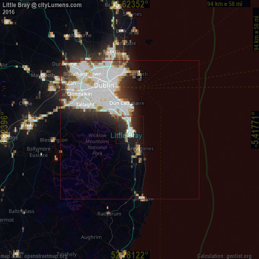
Analysis of Little Bray night lights 2016
Square area 10x10 km:
 6.94%
6.94%90-99
7.95%80-89
2.02%70-79
1.77%60-69
2.65%50-59
2.15%40-49
3.03%30-39
7.7%20-29
15.4%10-19
28.03%0-9
22.35%Square area 50x50 km:
7.69%90-99
4.77%80-89
1.3%70-79
1.05%60-69
1.06%50-59
0.99%40-49
1.51%30-39
1.93%20-29
3.36%10-19
4.47%0-9
71.86%Clear (daylight) street map image can be seen on geolist.org.
Map coordinates:
53° 37' 24.7" North, 6° 49' 26.3" West
53° 12' 16" North, 6° 7' 15" West
52° 46' 52.4" North, 5° 25' 3.8" West
Some cities around Little Bray sort by population:
• Bray
1.5 km =0.9 mi,  97°
97°
• Dún Laoghaire
10 km =6.2 mi,  354°
354°
• Greystones
8.1 km =5 mi,  151°
151°
• Foxrock
7.8 km =4.8 mi,  332°
332°
• Shankill
2.4 km =1.5 mi, 354°
• Cabinteely
7.7 km =4.8 mi,  339°
339°
• Sallynoggin
8.4 km =5.2 mi, 351°
• Dalkey
8.3 km =5.2 mi,  9°
9°
3315204 (p: 8,015)
Sources (retrieved 2019-11-25):
» Earth at Night: Flat Maps 2012, 2016