Gorey night lights from space
Night Light of Gorey (Leinster) from space (Ireland) Src. Average luminocity for 10x10km area is 7.8069% and for 50x50km: 0.8798%.
Analysis of Gorey night lights 2016
Square area 10x10 km:
 0.66%
0.66%90-99
0.93%80-89
0.53%70-79
0.79%60-69
0.79%50-59
0.66%40-49
4.1%30-39
1.85%20-29
1.06%10-19
1.06%0-9
87.57%Square area 50x50 km:
0.05%90-99
0.06%80-89
0.09%70-79
0.14%60-69
0.1%50-59
0.24%40-49
0.22%30-39
0.21%20-29
0.14%10-19
0.18%0-9
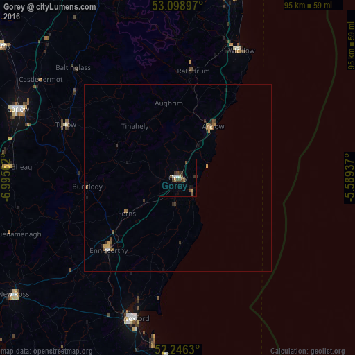
98.57%Clear (daylight) street map image can be seen on geolist.org.
Map coordinates:
53° 5' 56.3" North, 6° 59' 44.2" West
52° 40' 29" North, 6° 17' 33" West
52° 14' 46.7" North, 5° 35' 21.7" West
Some cities around Gorey sort by population:
• Carlow
46.5 km =28.9 mi,  293°
293°
• Loch Garman
39.5 km =24.5 mi,  196°
196°
• Kilquade
49 km =30.4 mi,  16°
16°
• Wicklow
37.2 km =23.1 mi,  26°
26°
• Greystones
54.1 km =33.6 mi, 16°
• Arklow
16.6 km =10.3 mi,  37°
37°
• Enniscorthy
26.4 km =16.4 mi,  222°
222°
• New Ross
53.4 km =33.2 mi,  234°
234°
2963962 (p: 6,040)
Sources (retrieved 2019-11-25):
» Earth at Night: Flat Maps 2012, 2016