Mertoyudan night lights from space
Night Light of Mertoyudan (Central Java) from space (Indonesia) Src. Average luminocity for 10x10km area is 25.316% and for 50x50km: 7.6997%.
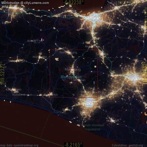
Analysis of Mertoyudan night lights 2016
Square area 10x10 km:
 1.3%
1.3%90-99
1.95%80-89
3.25%70-79
3.25%60-69
6.28%50-59
4.76%40-49
3.68%30-39
5.19%20-29
5.41%10-19
24.46%0-9
40.48%Square area 50x50 km:
0.12%90-99
0.38%80-89
0.98%70-79
0.92%60-69
1.53%50-59
2.01%40-49
1.68%30-39
1.46%20-29
2.27%10-19
4.35%0-9
84.3%Clear (daylight) street map image can be seen on geolist.org.
Map coordinates:
6° 49' 20.6" South, 109° 31' 23.8" East
7° 31' 12" South, 110° 13' 35" East
8° 12' 59.4" South, 110° 55' 46.3" East
Some cities around Mertoyudan sort by population:
• Yogyakarta
34.8 km =21.6 mi,  154°
154°
• Magelang
5.6 km =3.5 mi,  350°
350°
• Ambarawa
34.2 km =21.3 mi,  33°
33°
• Melati
28.3 km =17.6 mi, 146°
• Gamping Lor
32.6 km =20.3 mi,  160°
160°
• Godean
28.7 km =17.8 mi,  165°
165°
• Sleman
26 km =16.2 mi, 146°
• Muntilan
10 km =6.2 mi,  132°
132°
1635342 (p: 69,871)
Sources (retrieved 2019-11-25):
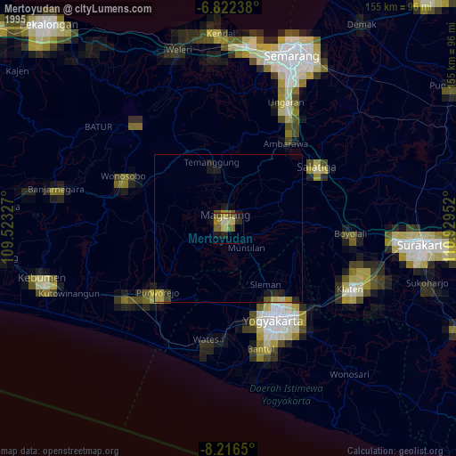
» NASA, Earths city lights 1995
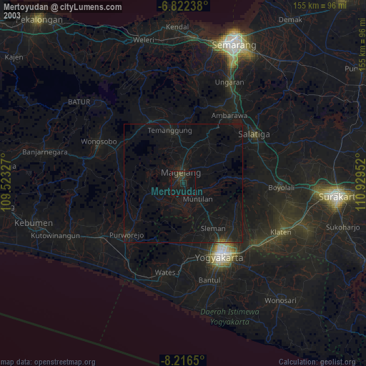
» NASA city lights 2003
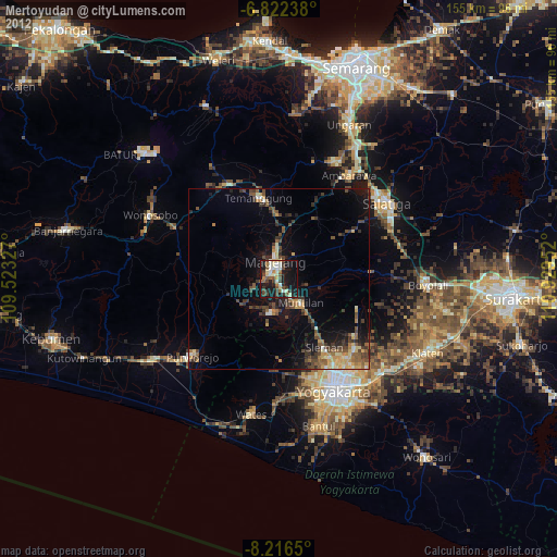
» Earth at Night: Flat Maps 2012, 2016