Magelang night lights from space
Night Light of Magelang (Central Java) from space (Indonesia) Src. Average luminocity for 10x10km area is 27.7835% and for 50x50km: 6.1696%.
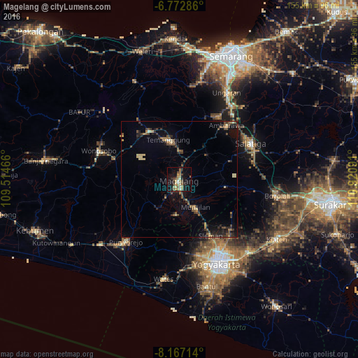

Analysis of Magelang night lights 2016
Square area 10x10 km:
 1.52%
1.52%90-99
2.16%80-89
4.11%70-79
4.33%60-69
8.87%50-59
4.11%40-49
3.25%30-39
4.55%20-29
4.11%10-19
24.89%0-9
38.1%Square area 50x50 km:
0.09%90-99
0.24%80-89
0.92%70-79
0.63%60-69
1.1%50-59
1.14%40-49
1.11%30-39
1.32%20-29
1.88%10-19
4.07%0-9
87.5%Clear (daylight) street map image can be seen on geolist.org.
Map coordinates:
6° 46' 22.3" South, 109° 30' 52.8" East
7° 28' 14" South, 110° 13' 4" East
8° 10' 1.7" South, 110° 55' 15.3" East
Some cities around Magelang sort by population:
• Salatiga
34 km =21.1 mi,  63°
63°
• Wonosobo
36.9 km =22.9 mi,  289°
289°
• Ambarawa
30.4 km =18.9 mi,  40°
40°
• Mertoyudan
5.6 km =3.5 mi,  170°
170°
• Melati
33.5 km =20.8 mi,  150°
150°
• Godean
34.3 km =21.3 mi, 165°
• Sleman
31.2 km =19.4 mi, 150°
• Muntilan
14.8 km =9.2 mi, 146°
1636884 (p: 111,461)
Sources (retrieved 2019-11-25):
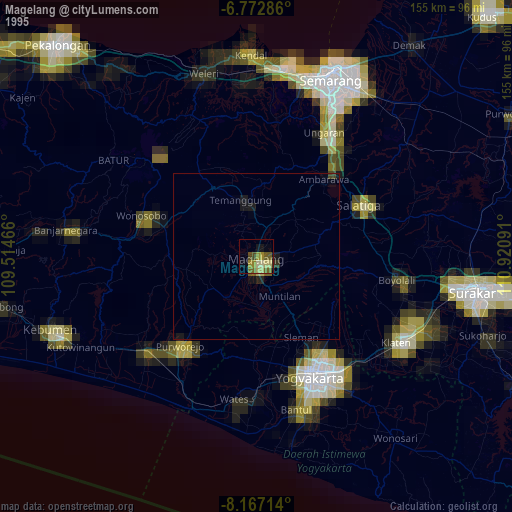
» NASA, Earths city lights 1995
» NASA city lights 2003
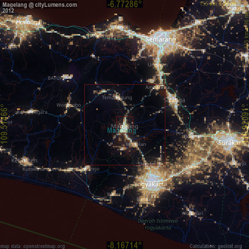
» Earth at Night: Flat Maps 2012, 2016