Sumedang night lights from space
Night Light of Sumedang (West Java) from space (Indonesia) Src. Average luminocity for 10x10km area is 22.4545% and for 50x50km: 9.9275%.
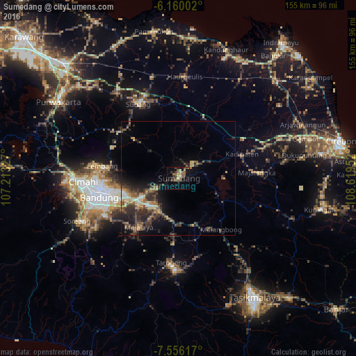
Analysis of Sumedang night lights 2016
Square area 10x10 km:
 0.43%
0.43%90-99
1.3%80-89
3.25%70-79
2.6%60-69
3.46%50-59
7.79%40-49
5.19%30-39
5.41%20-29
4.11%10-19
13.85%0-9
52.6%Square area 50x50 km:
0.36%90-99
0.63%80-89
1.42%70-79
1.28%60-69
1.55%50-59
2%40-49
2.58%30-39
2.74%20-29
3.95%10-19
5.4%0-9
78.09%Clear (daylight) street map image can be seen on geolist.org.
Map coordinates:
6° 9' 36.1" South, 107° 12' 47.8" East
6° 51' 31" South, 107° 54' 59" East
7° 33' 22.2" South, 108° 37' 10.3" East
Some cities around Sumedang sort by population:
• Bandung
34.9 km =21.7 mi,  258°
258°
• Lembang
33.4 km =20.8 mi,  278°
278°
• Paseh
31.9 km =19.8 mi,  211°
211°
• Cileunyi
20.1 km =12.5 mi,  243°
243°
• Majalengka
34.5 km =21.4 mi,  85°
85°
• Margahayukencana
40.5 km =25.2 mi,  252°
252°
• Pameungpeuk
38.8 km =24.1 mi, 242°
• Wanaraja
35.9 km =22.3 mi,  168°
168°
1626103 (p: 200,000)
Sources (retrieved 2019-11-25):
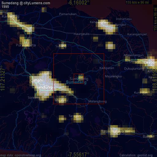
» NASA, Earths city lights 1995
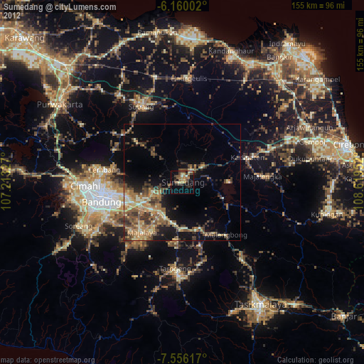
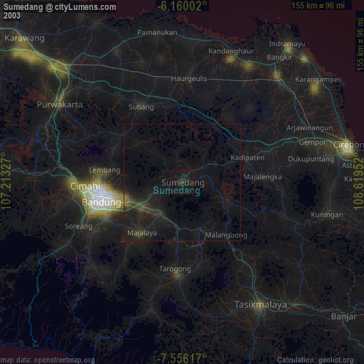
» NASA city lights 2003
» Earth at Night: Flat Maps 2012, 2016