Paseh night lights from space
Night Light of Paseh (West Java) from space (Indonesia) Src. Average luminocity for 10x10km area is 9.3918% and for 50x50km: 19.8397%.
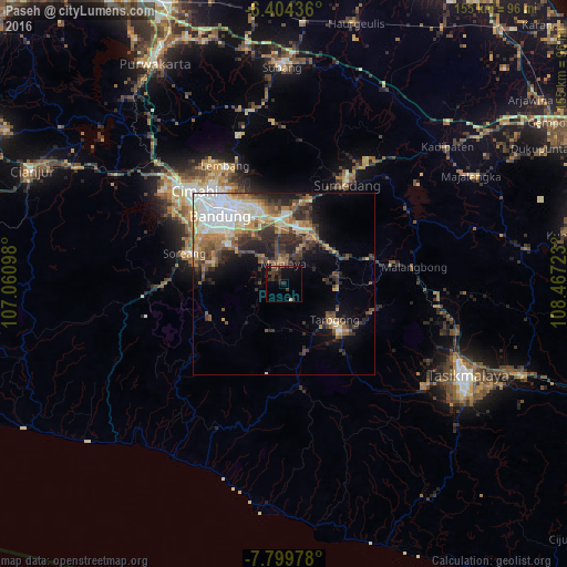
Analysis of Paseh night lights 2016
Square area 10x10 km:
 0%
0%90-99
0%80-89
0.87%70-79
0%60-69
0.43%50-59
0.43%40-49
3.9%30-39
4.33%20-29
7.14%10-19
8.87%0-9
74.03%Square area 50x50 km:
3.78%90-99
2.92%80-89
2.67%70-79
2.35%60-69
2.69%50-59
3.05%40-49
3.54%30-39
3.6%20-29
4.98%10-19
6.45%0-9
63.96%Clear (daylight) street map image can be seen on geolist.org.
Map coordinates:
6° 24' 15.7" South, 107° 3' 39.5" East
7° 6' 9.4" South, 107° 45' 50.8" East
7° 47' 59.2" South, 108° 28' 2" East
Some cities around Paseh sort by population:
• Bandung
26.5 km =16.5 mi,  319°
319°
• Sumedang
31.9 km =19.8 mi,  31°
31°
• Banjaran
20.5 km =12.7 mi,  288°
288°
• Soreang
28.2 km =17.5 mi, 285°
• Cileunyi
18.2 km =11.3 mi,  356°
356°
• Margahayukencana
26.2 km =16.3 mi,  304°
304°
• Pameungpeuk
20 km =12.4 mi, 297°
• Wanaraja
25.2 km =15.7 mi,  108°
108°
1632197 (p: 126,181)
Sources (retrieved 2019-11-25):
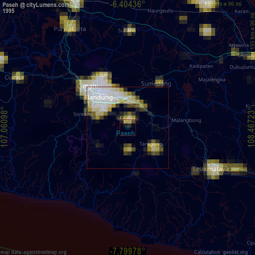
» NASA, Earths city lights 1995
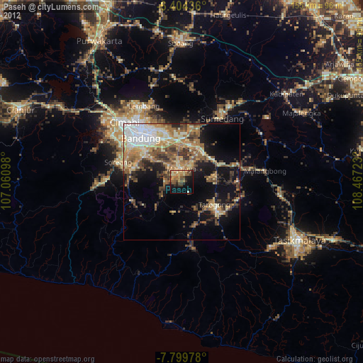
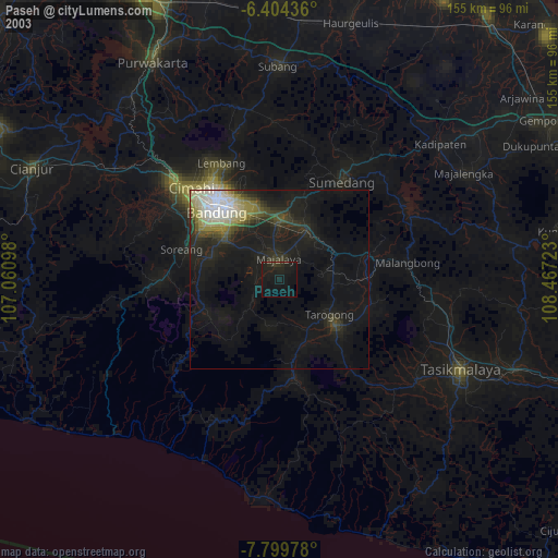
» NASA city lights 2003
» Earth at Night: Flat Maps 2012, 2016