Margahayukencana night lights from space
Night Light of Margahayukencana (West Java) from space (Indonesia) Src. Average luminocity for 10x10km area is 78.2944% and for 50x50km: 25.2544%.
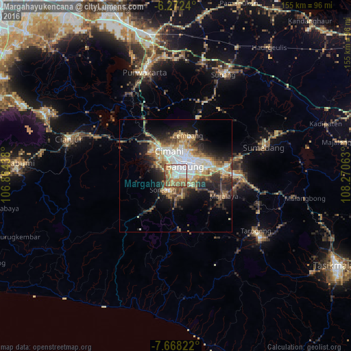
Analysis of Margahayukencana night lights 2016
Square area 10x10 km:
 21.43%
90-99
17.53%80-89
8.23%70-79
13.2%60-69
21.65%50-59
12.55%40-49
4.55%30-39
0.65%20-29
0.22%10-19
0%0-9
0%Square area 50x50 km:
4.55%90-99
3.98%80-89
3.93%70-79
3.45%60-69
3.96%50-59
3.57%40-49
3.85%30-39
3.58%20-29
5.85%10-19
9.28%0-9
54%Clear (daylight) street map image can be seen on geolist.org.
Map coordinates:
6° 16' 20.6" South, 106° 51' 51.8" East
6° 58' 15" South, 107° 34' 3" East
7° 40' 5.6" South, 108° 16' 14.3" East
Some cities around Margahayukencana sort by population:
• Bandung
6.9 km =4.3 mi,  38°
38°
• Cimahi
11.3 km =7 mi,  345°
345°
• Lembang
18.5 km =11.5 mi,  17°
17°
• Banjaran
8.6 km =5.3 mi,  164°
164°
• Soreang
8.8 km =5.5 mi,  218°
218°
• Padalarang
18.1 km =11.2 mi,  324°
324°
• Cileunyi
20.8 km =12.9 mi,  80°
80°
• Pameungpeuk
6.6 km =4.1 mi,  142°
142°
1636125 (p: 83,119)
Sources (retrieved 2019-11-25):
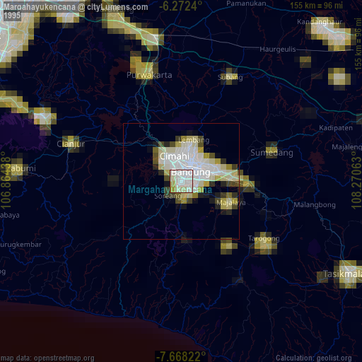
» NASA, Earths city lights 1995
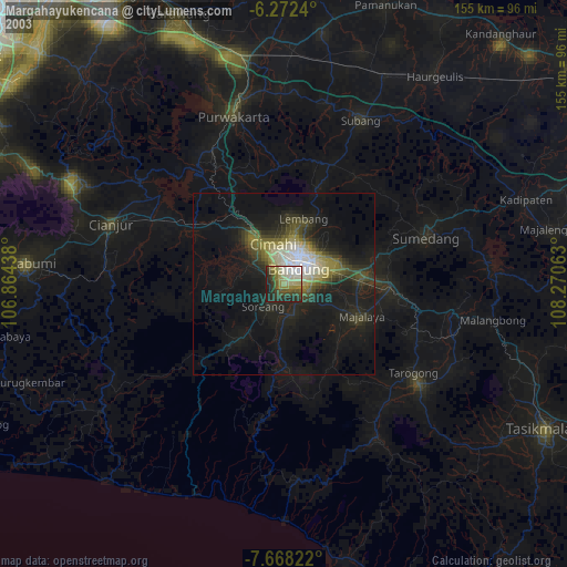
» NASA city lights 2003
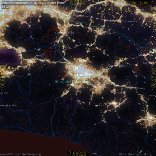
» Earth at Night: Flat Maps 2012, 2016