Cileunyi night lights from space
Night Light of Cileunyi (West Java) from space (Indonesia) Src. Average luminocity for 10x10km area is 61.0346% and for 50x50km: 24.7723%.


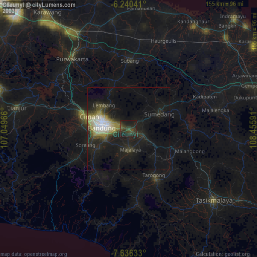
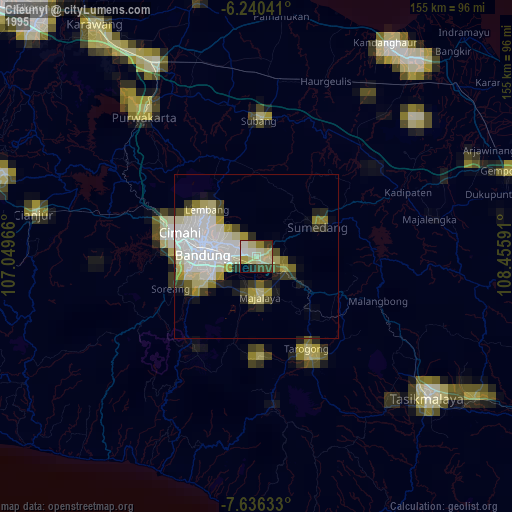
Analysis of Cileunyi night lights 2016
Square area 10x10 km:
 5.19%
5.19%90-99
8.44%80-89
15.8%70-79
10.61%60-69
11.04%50-59
12.12%40-49
12.12%30-39
12.55%20-29
11.9%10-19
0.22%0-9
0%Square area 50x50 km:
4.42%90-99
3.6%80-89
3.73%70-79
3.4%60-69
3.74%50-59
3.44%40-49
3.99%30-39
3.99%20-29
5.77%10-19
8.69%0-9
55.24%Clear (daylight) street map image can be seen on geolist.org.
Map coordinates:
6° 14' 25.5" South, 107° 2' 58.8" East
6° 56' 20" South, 107° 45' 10" East
7° 38' 10.8" South, 108° 27' 21.3" East
Some cities around Cileunyi sort by population:
• Bandung
16.2 km =10.1 mi,  276°
276°
• Sumedang
20.1 km =12.5 mi,  63°
63°
• Lembang
20.6 km =12.8 mi,  313°
313°
• Banjaran
21.7 km =13.5 mi,  236°
236°
• Paseh
18.2 km =11.3 mi,  176°
176°
• Sumedang Utara
20.6 km =12.8 mi, 61°
• Margahayukencana
20.8 km =12.9 mi,  260°
260°
• Pameungpeuk
18.7 km =11.6 mi, 241°
1646492 (p: 111,476)
Sources (retrieved 2019-11-25):
» NASA, Earths city lights 1995
» NASA city lights 2003
» Earth at Night: Flat Maps 2012, 2016