Pameungpeuk night lights from space
Night Light of Pameungpeuk (West Java) from space (Indonesia) Src. Average luminocity for 10x10km area is 52.7424% and for 50x50km: 26.22%.
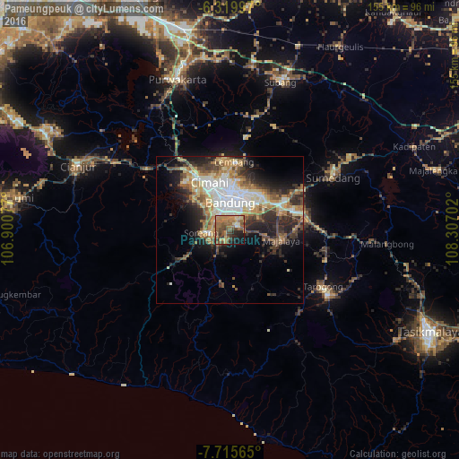
Analysis of Pameungpeuk night lights 2016
Square area 10x10 km:
 0.65%
0.65%90-99
3.9%80-89
9.52%70-79
9.52%60-69
18.18%50-59
16.88%40-49
14.5%30-39
6.71%20-29
8.01%10-19
9.96%0-9
2.16%Square area 50x50 km:
4.6%90-99
4.12%80-89
4.09%70-79
3.59%60-69
4.28%50-59
3.89%40-49
4.16%30-39
4.02%20-29
6.38%10-19
8.46%0-9
52.4%Clear (daylight) street map image can be seen on geolist.org.
Map coordinates:
6° 19' 11.9" South, 106° 54' 2.8" East
7° 1' 6" South, 107° 36' 14" East
7° 42' 56.3" South, 108° 18' 25.3" East
Some cities around Pameungpeuk sort by population:
• Bandung
10.7 km =6.6 mi,  1°
1°
• Cimahi
17.6 km =10.9 mi,  337°
337°
• Lembang
23 km =14.3 mi, 3°
• Banjaran
3.5 km =2.2 mi,  210°
210°
• Soreang
9.6 km =6 mi,  260°
260°
• Paseh
20 km =12.4 mi,  117°
117°
• Cileunyi
18.7 km =11.6 mi,  61°
61°
• Margahayukencana
6.6 km =4.1 mi,  322°
322°
1632974 (p: 48,294)
Sources (retrieved 2019-11-25):
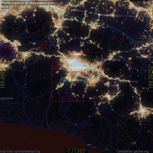
» Earth at Night: Flat Maps 2012, 2016