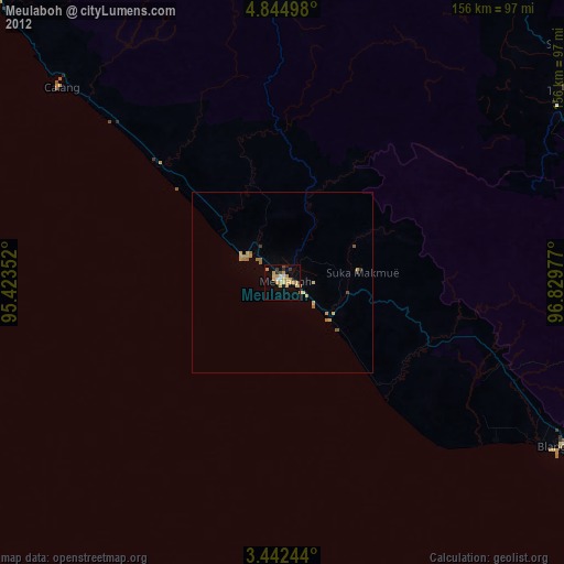
Meulaboh night lights from space
Night Light of Meulaboh (Aceh) from space (Indonesia) Src. Average luminocity for 10x10km area is 24.2013% and for 50x50km: 3.0816%.
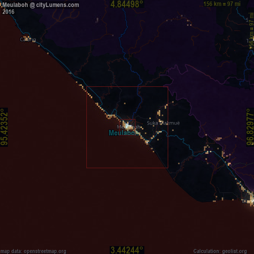
Analysis of Meulaboh night lights 2016
Square area 10x10 km:
 2.16%
2.16%90-99
3.03%80-89
0.87%70-79
3.25%60-69
9.31%50-59
5.63%40-49
1.73%30-39
0%20-29
0.87%10-19
20.35%0-9
52.81%Square area 50x50 km:
0.11%90-99
0.13%80-89
0.17%70-79
0.48%60-69
1.21%50-59
0.78%40-49
0.65%30-39
0.03%20-29
0.07%10-19
0.87%0-9
95.49%Clear (daylight) street map image can be seen on geolist.org.
Map coordinates:
4° 50' 41.9" North, 95° 25' 24.7" East
4° 8' 38.5" North, 96° 7' 35.9" East
3° 26' 32.8" North, 96° 49' 47.2" East
Some cities around Meulaboh sort by population:
• Banda Aceh
178.5 km =110.9 mi,  330°
330°
• Lhokseumawe
161.7 km =100.5 mi,  44°
44°
• Langsa
207.4 km =128.9 mi,  79°
79°
• Reuleuet
120.5 km =74.9 mi,  8°
8°
• Bireun
133.8 km =83.1 mi,  28°
28°
• Sabang
213.8 km =132.8 mi,  335°
335°
• Sigli
139.2 km =86.5 mi,  352°
352°
• Sinabang
187.1 km =116.3 mi,  171°
171°
1214488 (p: 35,062)
Sources (retrieved 2019-11-25):
» Earth at Night: Flat Maps 2012, 2016