Sinabang night lights from space
Night Light of Sinabang (Aceh) from space (Indonesia) Src. Average luminocity for 10x10km area is 2.9805% and for 50x50km: 0.7958%.
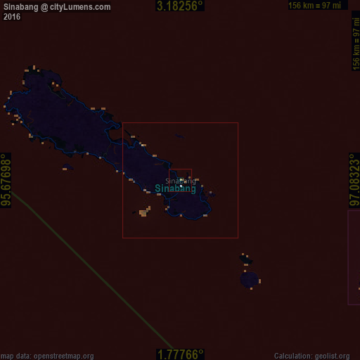
Analysis of Sinabang night lights 2016
Square area 10x10 km:
 0%
0%90-99
0.87%80-89
0%70-79
0%60-69
0.87%50-59
0.87%40-49
1.73%30-39
0%20-29
0%10-19
0%0-9
95.67%Square area 50x50 km:
0%90-99
0.03%80-89
0.03%70-79
0%60-69
0.03%50-59
0.32%40-49
0.87%30-39
0.16%20-29
0%10-19
0%0-9
98.55%Clear (daylight) street map image can be seen on geolist.org.
Map coordinates:
3° 10' 57.2" North, 95° 40' 37.1" East
2° 28' 49.1" North, 96° 22' 48.4" East
1° 46' 39.6" North, 97° 4' 59.6" East
Some cities around Sinabang sort by population:
• Binjai
264.8 km =164.5 mi,  61°
61°
• Kabanjahe
244.3 km =151.8 mi,  73°
73°
• Singkil
157.9 km =98.1 mi,  97°
97°
• Berastagi
249.4 km =155 mi, 71°
• Meulaboh
187.1 km =116.3 mi,  351°
351°
• Stabat
268.8 km =167 mi, 58°
• Pangkalan Brandan
271.8 km =168.9 mi,  50°
50°
• Tongging
242.5 km =150.7 mi,  78°
78°
1213721 (p: 15,000)
Sources (retrieved 2019-11-25):
» Earth at Night: Flat Maps 2012, 2016