Bireun night lights from space
Night Light of Bireun (Aceh) from space (Indonesia) Src. Average luminocity for 10x10km area is 24.5847% and for 50x50km: 2.1259%.
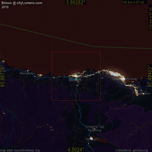
Analysis of Bireun night lights 2016
Square area 10x10 km:
 1.86%
1.86%90-99
2.27%80-89
1.03%70-79
3.93%60-69
2.48%50-59
0%40-49
12.19%30-39
10.74%20-29
3.93%10-19
17.15%0-9
44.42%Square area 50x50 km:
0.08%90-99
0.09%80-89
0.04%70-79
0.23%60-69
0.2%50-59
0.06%40-49
1.21%30-39
0.91%20-29
0.77%10-19
1.16%0-9
95.25%Clear (daylight) street map image can be seen on geolist.org.
Map coordinates:
5° 54' 10.2" North, 95° 59' 52" East
5° 12' 10.8" North, 96° 42' 3.2" East
4° 30' 8.6" North, 97° 24' 14.5" East
Some cities around Bireun sort by population:
• Banda Aceh
156 km =96.9 mi,  283°
283°
• Lhokseumawe
49.9 km =31 mi,  92°
92°
• Langsa
162.5 km =101 mi,  120°
120°
• Reuleuet
46.3 km =28.8 mi,  271°
271°
• Meulaboh
133.8 km =83.1 mi,  208°
208°
• Pangkalan Brandan
218.5 km =135.8 mi,  126°
126°
• Sabang
171.2 km =106.4 mi,  296°
296°
• Sigli
84.4 km =52.4 mi, 283°
1215350 (p: 25,793)
Sources (retrieved 2019-11-25):
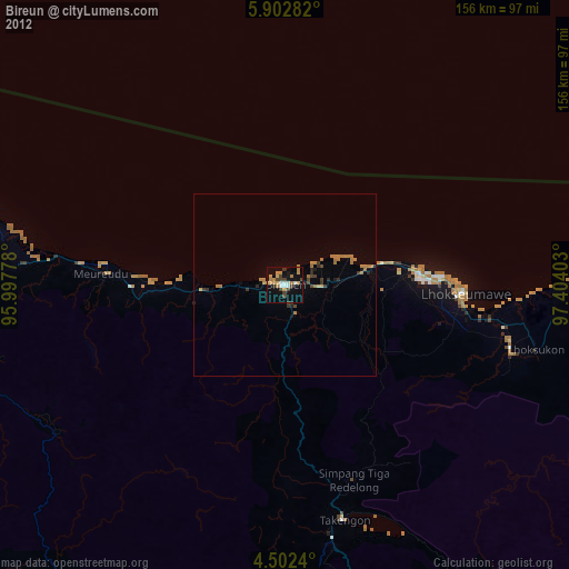
» Earth at Night: Flat Maps 2012, 2016