Sigli night lights from space
Night Light of Sigli (Aceh) from space (Indonesia) Src. Average luminocity for 10x10km area is 9.4793% and for 50x50km: 0.6218%.
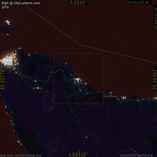
Analysis of Sigli night lights 2016
Square area 10x10 km:
 0%
0%90-99
0.62%80-89
1.45%70-79
1.65%60-69
1.24%50-59
2.89%40-49
4.96%30-39
0%20-29
0%10-19
0.62%0-9
86.57%Square area 50x50 km:
0%90-99
0.03%80-89
0.06%70-79
0.07%60-69
0.09%50-59
0.14%40-49
0.48%30-39
0.03%20-29
0.03%10-19
0.03%0-9
99.05%Clear (daylight) street map image can be seen on geolist.org.
Map coordinates:
6° 5' 3.8" North, 95° 15' 28" East
5° 23' 5.3" North, 95° 57' 39.2" East
4° 41' 3.8" North, 96° 39' 50.5" East
Some cities around Sigli sort by population:
• Banda Aceh
71.6 km =44.5 mi,  284°
284°
• Lhokseumawe
133.7 km =83.1 mi,  99°
99°
• Langsa
244.6 km =152 mi,  114°
114°
• Reuleuet
40.3 km =25 mi,  117°
117°
• Meulaboh
139.2 km =86.5 mi,  172°
172°
• Bireun
84.4 km =52.4 mi, 103°
• Pangkalan Brandan
298.1 km =185.2 mi, 120°
• Sabang
90.8 km =56.4 mi,  308°
308°
1213821 (p: 17,504)
Sources (retrieved 2019-11-25):
» Earth at Night: Flat Maps 2012, 2016