Sabang night lights from space
Night Light of Sabang (Aceh) from space (Indonesia) Src. Average luminocity for 10x10km area is 11.1674% and for 50x50km: 0.7805%.
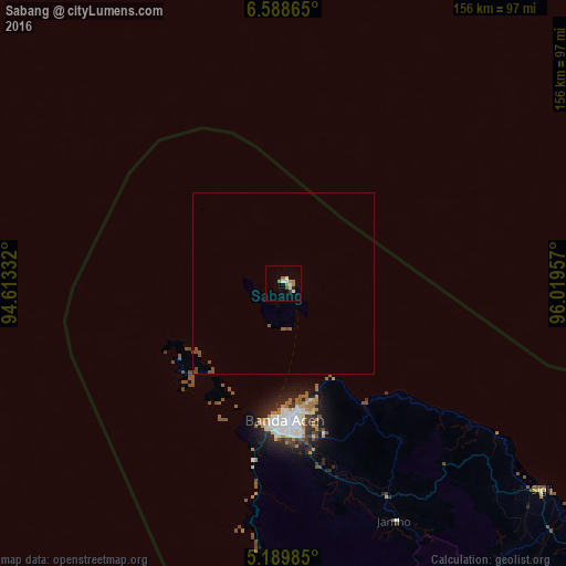
Analysis of Sabang night lights 2016
Square area 10x10 km:
 1.24%
1.24%90-99
2.89%80-89
0.83%70-79
1.65%60-69
3.31%50-59
0%40-49
0.83%30-39
0.83%20-29
0.83%10-19
0%0-9
87.6%Square area 50x50 km:
0.05%90-99
0.12%80-89
0.03%70-79
0.07%60-69
0.15%50-59
0.12%40-49
0.42%30-39
0.03%20-29
0.03%10-19
0%0-9
98.97%Clear (daylight) street map image can be seen on geolist.org.
Map coordinates:
6° 35' 19.1" North, 94° 36' 48" East
5° 53' 22.9" North, 95° 18' 59.2" East
5° 11' 23.5" North, 96° 1' 10.5" East
Some cities around Sabang sort by population:
• Banda Aceh
38.7 km =24 mi,  177°
177°
• Lhokseumawe
217.8 km =135.3 mi,  111°
111°
• Langsa
333.5 km =207.2 mi,  118°
118°
• Reuleuet
130.6 km =81.2 mi, 124°
• Meulaboh
213.8 km =132.8 mi,  155°
155°
• Bireun
171.2 km =106.4 mi, 116°
• Pangkalan Brandan
388.2 km =241.2 mi, 122°
• Sigli
90.8 km =56.4 mi,  128°
128°
1214026 (p: 24,519)
Sources (retrieved 2019-11-25):
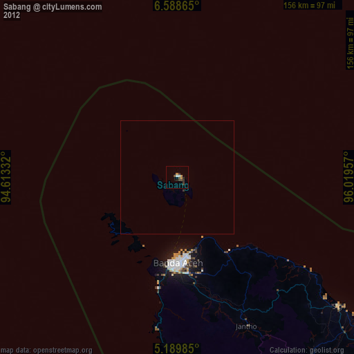
» Earth at Night: Flat Maps 2012, 2016