Lhokseumawe night lights from space
Night Light of Lhokseumawe (Aceh) from space (Indonesia) Src. Average luminocity for 10x10km area is 31.3802% and for 50x50km: 5.6478%.
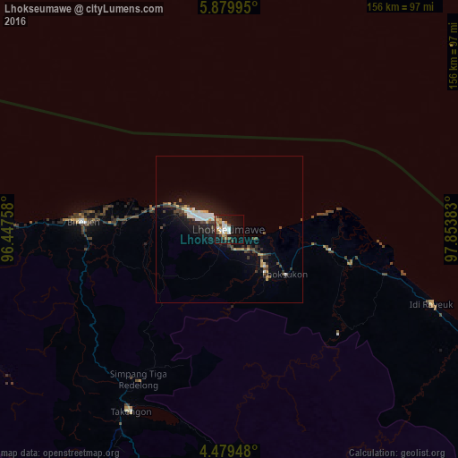
Analysis of Lhokseumawe night lights 2016
Square area 10x10 km:
 4.34%
4.34%90-99
7.23%80-89
3.51%70-79
4.13%60-69
3.1%50-59
1.65%40-49
4.96%30-39
4.96%20-29
3.31%10-19
36.57%0-9
26.24%Square area 50x50 km:
0.71%90-99
1%80-89
0.54%70-79
0.53%60-69
0.36%50-59
0.25%40-49
1.31%30-39
0.96%20-29
1.57%10-19
5.24%0-9
87.53%Clear (daylight) street map image can be seen on geolist.org.
Map coordinates:
5° 52' 47.8" North, 96° 26' 51.3" East
5° 10' 48.4" North, 97° 9' 2.5" East
4° 28' 46.1" North, 97° 51' 13.8" East
Some cities around Lhokseumawe sort by population:
• Banda Aceh
205.2 km =127.5 mi,  281°
281°
• Langsa
120.3 km =74.8 mi,  131°
131°
• Reuleuet
96.1 km =59.7 mi,  272°
272°
• Meulaboh
161.7 km =100.5 mi,  224°
224°
• Bireun
49.9 km =31 mi, 272°
• Pangkalan Brandan
179.3 km =111.4 mi,  135°
135°
• Tanjungtiram
183.7 km =114.1 mi, 132°
• Sigli
133.7 km =83.1 mi, 279°
1214658 (p: 88,974)
Sources (retrieved 2019-11-25):
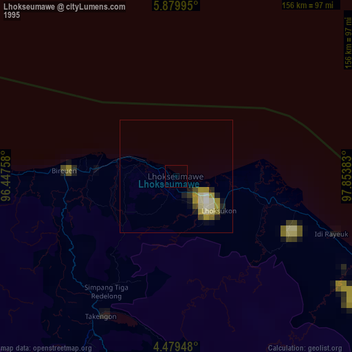
» NASA, Earths city lights 1995
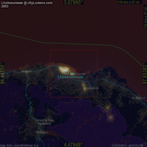
» NASA city lights 2003
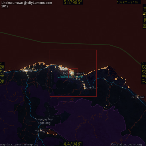
» Earth at Night: Flat Maps 2012, 2016