Reuleuet night lights from space
Night Light of Reuleuet (Aceh) from space (Indonesia) Src. Average luminocity for 10x10km area is 2.5145% and for 50x50km: 0.3693%.
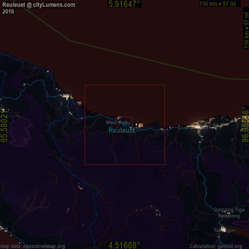
Analysis of Reuleuet night lights 2016
Square area 10x10 km:
 0%
0%90-99
0%80-89
0%70-79
0.41%60-69
0.41%50-59
0%40-49
1.65%30-39
0.21%20-29
2.69%10-19
0.41%0-9
94.21%Square area 50x50 km:
0%90-99
0.02%80-89
0.05%70-79
0.03%60-69
0.05%50-59
0.12%40-49
0.15%30-39
0.08%20-29
0.11%10-19
0.09%0-9
99.31%Clear (daylight) street map image can be seen on geolist.org.
Map coordinates:
5° 54' 59.3" North, 95° 34' 48.8" East
5° 13' 0" North, 96° 16' 60" East
4° 30' 57.9" North, 96° 59' 11.3" East
Some cities around Reuleuet sort by population:
• Banda Aceh
111.2 km =69.1 mi,  288°
288°
• Lhokseumawe
96.1 km =59.7 mi,  92°
92°
• Langsa
204.4 km =127 mi,  114°
114°
• Meulaboh
120.5 km =74.9 mi,  188°
188°
• Bireun
46.3 km =28.8 mi, 91°
• Pangkalan Brandan
257.8 km =160.2 mi,  120°
120°
• Sabang
130.6 km =81.2 mi,  304°
304°
• Sigli
40.3 km =25 mi, 297°
1214055 (p: 40,393)
Sources (retrieved 2019-11-25):
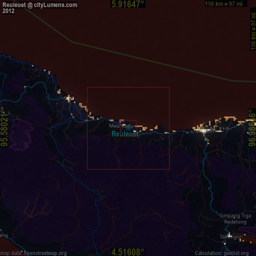
» Earth at Night: Flat Maps 2012, 2016