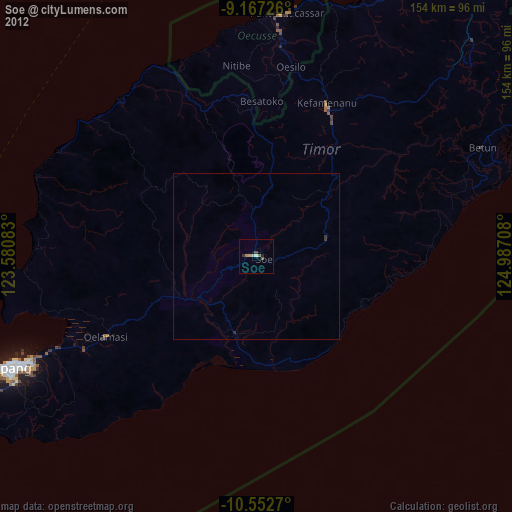
Soe night lights from space
Night Light of Soe (East Nusa Tenggara) from space (Indonesia) Src. Average luminocity for 10x10km area is 7.5996% and for 50x50km: 0.3035%.
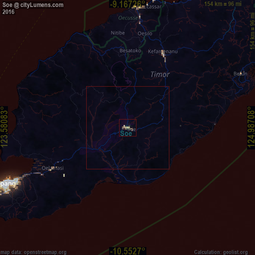
Analysis of Soe night lights 2016
Square area 10x10 km:
 0%
0%90-99
0.87%80-89
0.22%70-79
2.6%60-69
0.65%50-59
1.52%40-49
2.6%30-39
2.81%20-29
0.87%10-19
0.87%0-9
87.01%Square area 50x50 km:
0%90-99
0.03%80-89
0.01%70-79
0.1%60-69
0.03%50-59
0.06%40-49
0.1%30-39
0.11%20-29
0.03%10-19
0.07%0-9
99.47%Clear (daylight) street map image can be seen on geolist.org.
Map coordinates:
9° 10' 2.1" South, 123° 34' 51" East
9° 51' 38.6" South, 124° 17' 2.2" East
10° 33' 9.7" South, 124° 59' 13.5" East
Some cities around Soe sort by population:
• Kupang
81.8 km =50.8 mi,  245°
245°
• Atambua
107.2 km =66.6 mi,  38°
38°
• Kefamenanu
50.7 km =31.5 mi,  24°
24°
• Maliana, TL
141 km =87.6 mi,  46°
46°
• Suai, TL
122.8 km =76.3 mi,  60°
60°
• Maubara, TL
171.8 km =106.8 mi, 36°
• Ainaro, TL
165.4 km =102.8 mi, 54°
• Pante Makasar, TL
74.3 km =46.2 mi,  8°
8°
1626703 (p: 27,717)
Sources (retrieved 2019-11-25):
» Earth at Night: Flat Maps 2012, 2016