Kefamenanu night lights from space
Night Light of Kefamenanu (East Nusa Tenggara) from space (Indonesia) Src. Average luminocity for 10x10km area is 5.9957% and for 50x50km: 0.3878%.
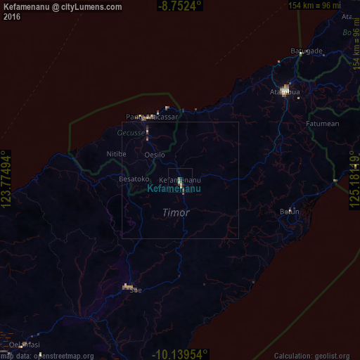
Analysis of Kefamenanu night lights 2016
Square area 10x10 km:
 0%
0%90-99
0%80-89
1.73%70-79
0.87%60-69
1.08%50-59
1.52%40-49
1.08%30-39
1.08%20-29
2.6%10-19
0%0-9
90.04%Square area 50x50 km:
0%90-99
0%80-89
0.1%70-79
0.03%60-69
0.08%50-59
0.09%40-49
0.04%30-39
0.16%20-29
0.14%10-19
0%0-9
99.35%Clear (daylight) street map image can be seen on geolist.org.
Map coordinates:
8° 45' 8.6" South, 123° 46' 29.8" East
9° 26' 48" South, 124° 28' 41" East
10° 8' 22.3" South, 125° 10' 52.3" East
Some cities around Kefamenanu sort by population:
• Kupang
124.9 km =77.6 mi,  229°
229°
• Atambua
59.2 km =36.8 mi,  50°
50°
• Soe
50.7 km =31.5 mi,  204°
204°
• Maliana, TL
95.8 km =59.5 mi,  58°
58°
• Suai, TL
86.7 km =53.9 mi,  80°
80°
• Maubara, TL
122.5 km =76.1 mi,  40°
40°
• Ainaro, TL
123.8 km =76.9 mi,  65°
65°
• Pante Makasar, TL
29.3 km =18.2 mi,  339°
339°
1640576 (p: 29,490)
Sources (retrieved 2019-11-25):
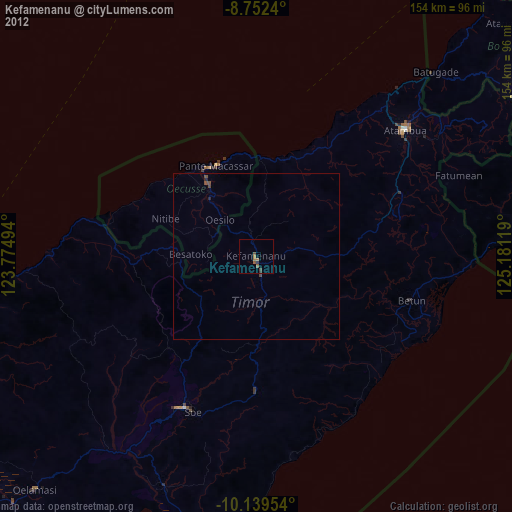
» Earth at Night: Flat Maps 2012, 2016